Air Ambulance Helicopter to Preston, Garstang Road
Thursday, 29 January 2026 | 14:35 | From Lancaster
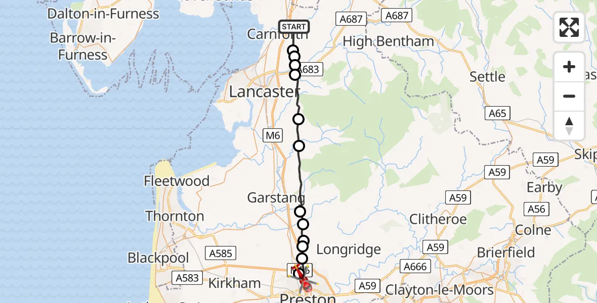
On Thursday, 29 January 2026 at 14:35, a Air Ambulance Helicopter departed from Lancaster to Preston. It was the Air Ambulance Helicopter with registration number G-NWAA. The flight lasted 12 minutes. During that period, the aircraft travelled 25 miles at an average speed of 131 miles per hour at a maximum altitude of 1950 feet.
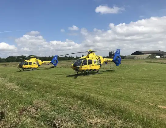
Helicopter: G-NWAA
The helicopter G-NWAA is used as a air ambulance helicopter. The main purpose of this aircraft is to transport a Mobile Medical Team to an incident as quickly as possible, enabling the trauma doctor to provide immediate first aid on site. The aircraft is flying this flight as Air Ambulance Helicopter.
Photo: Legion23
26 miles
1950 feet
131 mph
12 minutes
14:35
14:47

Route
Garstang Road, Lancashire14:47
Preston, Lancashire14:46
Broughton, Preston14:45
Barton, Preston14:45
Preston, Lancashire14:45
Wyre, Lancashire14:44
Claughton, Wyre14:43
Wyre, Lancashire14:40
Dolphinholme, Lancaster14:39
Quernmore, Lancaster14:37
Caton, Lancaster14:37
Lancaster, Lancashire14:36
Nether Kellet, Lancaster14:36
Kellet Lane, Lancashire14:35
Live flights
Today
Flights Preston
Air Ambulance Helicopter to RAF Northolt12 Jul 21:21
Air Ambulance Helicopter to Blackpool Airport12 Jul 13:18
Air Ambulance Helicopter to Blackpool Airport10 Jul 19:35
Flights Lancaster
Air Ambulance Helicopter to Blackpool Airport11 Jul 11:17
Air Ambulance Helicopter to Blackpool Airport30 Jun 15:32
Air Ambulance Helicopter to Lancaster24 Jun 15:16
Air Ambulance Helicopter to Lancaster6 Jun 13:42
Coastguard Helicopter to Lancaster, The Prom27 May 20:43
Helicopter flights on your website?
You can easily display helicopter flights on your own website. Use the embed code.
