Police Helicopter to Teignbridge, Buckland Road
Tuesday, 27 January 2026 | 20:10 | From Kenton
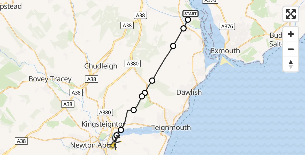
On Tuesday, 27 January 2026 at 20:10, a Police Helicopter departed from Kenton to Teignbridge. It was the Police Helicopter with registration number G-CPAS. The flight lasted 5 minutes. During that period, the aircraft travelled 10 miles at an average speed of 123 miles per hour at a maximum altitude of 2625 feet.
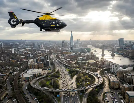
Helicopter: G-CPAS
The helicopter G-CPAS is used by the British police. The helicopter is deployed in pursuits, missing persons cases and other incidents where a helicopter provides added value.
11 miles
2625 feet
123 mph
5 minutes
20:10
20:15

Route
Buckland Road, Devon and Torbay20:15
Teignbridge, Devon and Torbay20:15
Kingsteignton, Teignbridge20:15
Bishopsteignton, Teignbridge20:14
Luton, Teignbridge20:14
Teignbridge, Devon and Torbay20:13
Luton, Teignbridge20:13
Teignbridge, Devon and Torbay20:12
Kenton, Teignbridge20:11
Exeter, Devon and Torbay20:11
Kenton, Teignbridge20:10
Live flights
Today
Flights Teignbridge
Police Helicopter to East Devon, A3029 Apr 20:28
Flights Kenton
Police Helicopter to Woolsington, Falcon Way4 Jul 11:21
Police Helicopter to Tranwell, The Pastures30 Apr 23:54
Police Helicopter to Wallsend, Tyne Approach10 Apr 13:30
Police Helicopter to Teignbridge, Buckland Road27 Jan 20:10
Helicopter flights on your website?
You can easily display helicopter flights on your own website. Use the embed code.
