Air Ambulance Helicopter to Morecambe, Hexham Road
Sunday, 25 January 2026 | 12:41 | From Common Edge
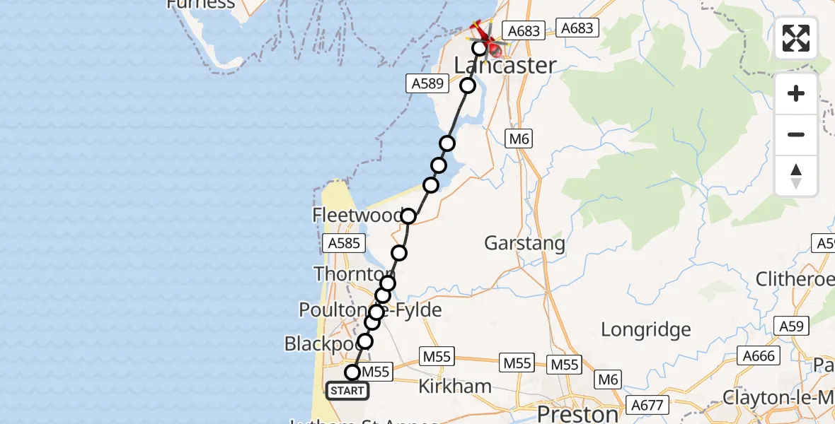
On Sunday, 25 January 2026 at 12:41, a Air Ambulance Helicopter departed from Common Edge to Morecambe. It was the Air Ambulance Helicopter with registration number G-NWAA. The flight lasted 12 minutes. During that period, the aircraft travelled 23 miles at an average speed of 118 miles per hour at a maximum altitude of 1750 feet.
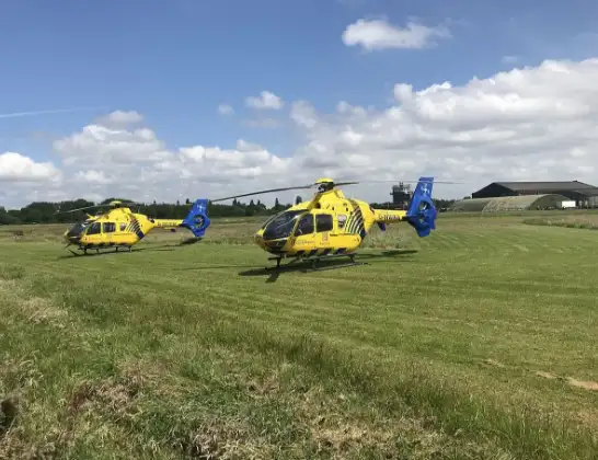
Helicopter: G-NWAA
The helicopter G-NWAA is used as a air ambulance helicopter. The main purpose of this aircraft is to transport a Mobile Medical Team to an incident as quickly as possible, enabling the trauma doctor to provide immediate first aid on site. The aircraft is flying this flight as Air Ambulance Helicopter.
Photo: Legion23
24 miles
1750 feet
118 mph
12 minutes
12:41
12:53

Route
Hexham Road, Lancaster12:53
Morecambe, Lancaster12:50
Lancaster, Lancashire12:49
Overton, Lancaster12:48
Lancaster, Lancashire12:47
Wyre, Lancashire12:47
Pilling, Wyre12:46
Stalmine, Wyre12:45
Hambleton, Wyre12:44
Fylde, Lancashire12:44
Poulton-le-Fylde, Wyre12:43
Hardhorn, Wyre12:43
Staining, Fylde12:43
Blackpool, Lancashire12:42
Sycamore Trading Estate, Lancashire12:41
Live flights
Today
Flights Morecambe
Air Ambulance Helicopter to Lancaster General26 May 16:41
Air Ambulance Helicopter to Blackpool Airport17 Feb 13:15
Helicopter flights on your website?
You can easily display helicopter flights on your own website. Use the embed code.
