Police Helicopter to South Nutfield, Ridge Green
Saturday, 24 January 2026 | 17:49 | From Outwood
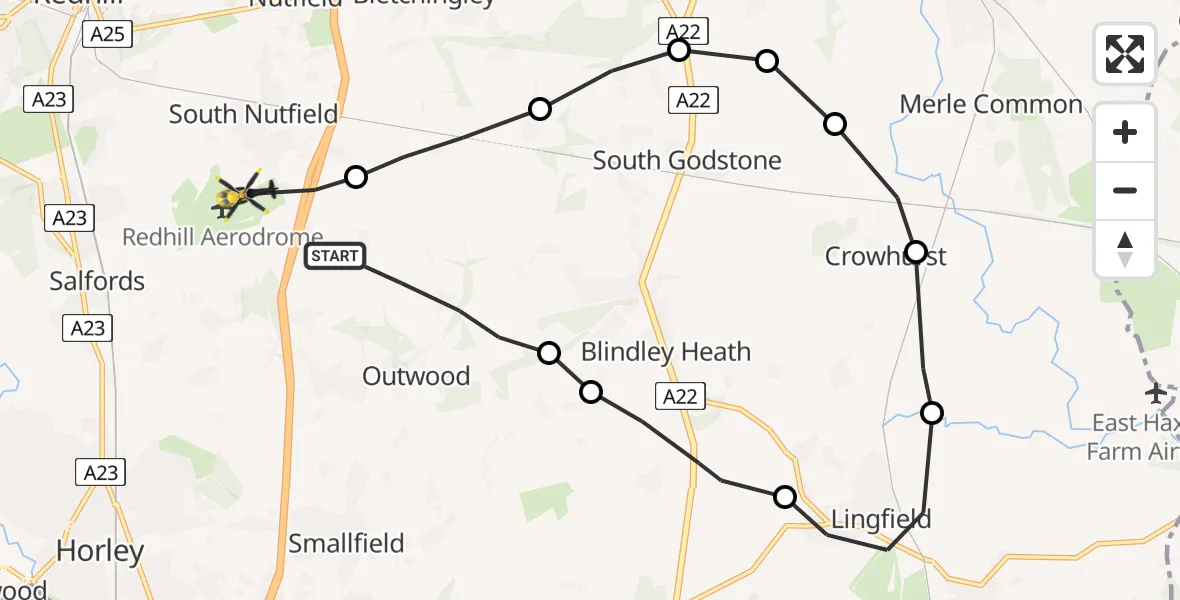
On Saturday, 24 January 2026 at 17:49, a Police Helicopter departed from Outwood to South Nutfield. It was the Police Helicopter with registration number G-POLH. The flight lasted 6 minutes. During that period, the aircraft travelled 15 miles at an average speed of 141 miles per hour at a maximum altitude of 1600 feet.
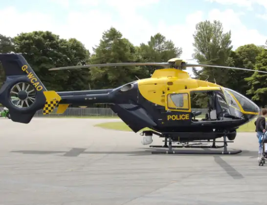
Helicopter: G-POLH
The helicopter G-POLH is used by the British police. The helicopter is deployed in pursuits, missing persons cases and other incidents where a helicopter provides added value.
Photo: Arpingstone
15 miles
1600 feet
141 mph
7 minutes
17:49
17:55

Route
Ridge Green, 17:55
South Nutfield17:55
Tandridge17:54
South Godstone17:53
Broadham Green17:53
Broadham Green, Oxted17:53
Crowhurst17:52
Tandridge17:52
Lingfield17:51
Blindley Heath17:50
Tandridge17:50
Prince of Wales Road, 17:49
Today
Flights Outwood
Police Helicopter to Tandridge, Moats Lane5 May 20:04
Police Helicopter to Salfords, Kings Mill Lane25 Apr 16:27
Police Helicopter to South Nutfield, Ridge Green24 Jan 17:49
Helicopter flights on your website?
You can easily display helicopter flights on your own website. Use the embed code.
