Police Helicopter to Tattenhall, High Street
Saturday, 24 January 2026 | 17:21 | From Tattenhall
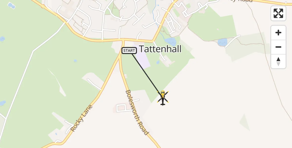
On Saturday, 24 January 2026 at 17:21, a Police Helicopter departed from Tattenhall to Tattenhall. It was the Police Helicopter with registration number G-EMID. The flight lasted 0 minutes. During that period, the aircraft travelled 0 miles at an average speed of 0 miles per hour at a maximum altitude of 1375 feet.
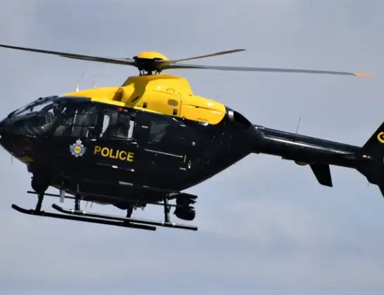
Helicopter: G-EMID
The helicopter G-EMID is used by the British police. The helicopter is deployed in pursuits, missing persons cases and other incidents where a helicopter provides added value.
Photo: Alec Wilson
1 miles
1375 feet
0 mph
1 minutes
17:21
17:21

Route
High Street, 17:21
High Street, 17:21
Live flights
Today
Police Helicopter to Manchester Barton Aerodrome13 Jul 23:56
Police Helicopter to Bournemouth Airport13 Jul 23:55
Air Ambulance Helicopter to Cardiff Heliport13 Jul 23:38
Police Helicopter to Harborough, Sulby Road13 Jul 23:36
Police Helicopter to Birmingham Airport13 Jul 23:21
Flights Tattenhall
Police Helicopter to Manchester Barton Aerodrome24 Jan 17:37
Police Helicopter to Tattenhall, Frog Lane24 Jan 17:30
Police Helicopter to Tattenhall, High Street24 Jan 17:21
Police Helicopter to Tattenhall, Brockway West24 Jan 17:08
Police Helicopter to Tattenhall, High Street24 Jan 17:04
Police Helicopter to Tattenhall, High Street24 Jan 16:43
Helicopter flights on your website?
You can easily display helicopter flights on your own website. Use the embed code.
