Air Ambulance Helicopter to Henstridge, Henstridge Airfield
Saturday, 24 January 2026 | 0:34 | From Croscombe
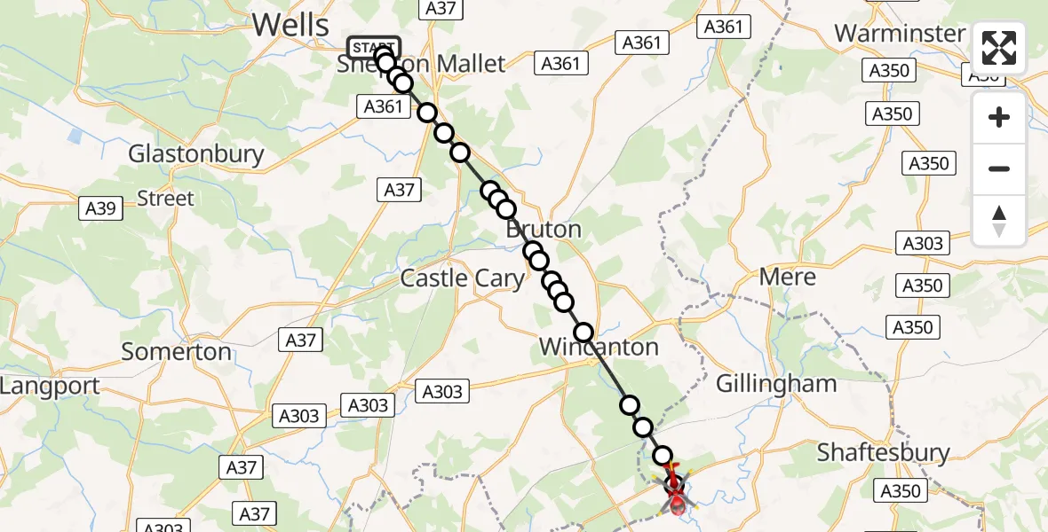
On Saturday, 24 January 2026 at 0:34, a Air Ambulance Helicopter departed from Croscombe to Henstridge. It was the Air Ambulance Helicopter with registration number G-DSAA. The flight lasted 17 minutes. During that period, the aircraft travelled 18 miles at an average speed of 64 miles per hour at a maximum altitude of 2200 feet.
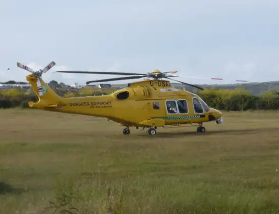
Helicopter: G-DSAA
The helicopter G-DSAA is used as a air ambulance helicopter. The main purpose of this aircraft is to transport a Mobile Medical Team to an incident as quickly as possible, enabling the trauma doctor to provide immediate first aid on site. The aircraft is flying this flight as Air Ambulance Helicopter.
Photo: Andrew Bone
18 miles
2200 feet
64 mph
17 minutes
00:34
00:51

Route
Henstridge Airfield, 00:51
Henstridge00:50
Kington Magna00:49
Buckhorn Weston00:48
Horsington00:48
Wincanton00:46
Shepton Montague00:45
Stoney Stoke00:45
Wincanton00:45
Bruton00:44
Wyke Champflower00:44
Wyke Champflower, Bruton00:43
Wyke Champflower00:43
Milton Clevedon00:42
Evercreech00:41
Prestleigh00:41
Street on the Fosse00:40
Pilton00:40
Shepton Mallet00:39
Croscombe00:39
Shepton Mallet00:39
Thrupe Lane, 00:37
Croscombe00:34
Today
Flights Henstridge
Air Ambulance Helicopter to Pulham16 Apr 22:58
Flights Croscombe
Air Ambulance Helicopter to Henstridge Airfield17 Feb 12:57
Helicopter flights on your website?
You can easily display helicopter flights on your own website. Use the embed code.
