Air Ambulance Helicopter to Sheffield, Dyche Lane
Thursday, 15 January 2026 | 14:19 | From YAA Nostell Helicopter Port
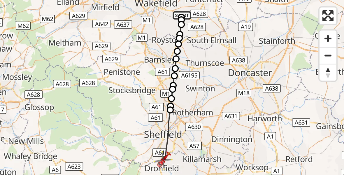
On Thursday, 15 January 2026 at 14:19, a Air Ambulance Helicopter departed from YAA Nostell Helicopter Port to Sheffield. It was the Air Ambulance Helicopter with registration number G-YORX. The flight lasted 13 minutes. During that period, the aircraft travelled 25 miles at an average speed of 113 miles per hour at a maximum altitude of 1675 feet.
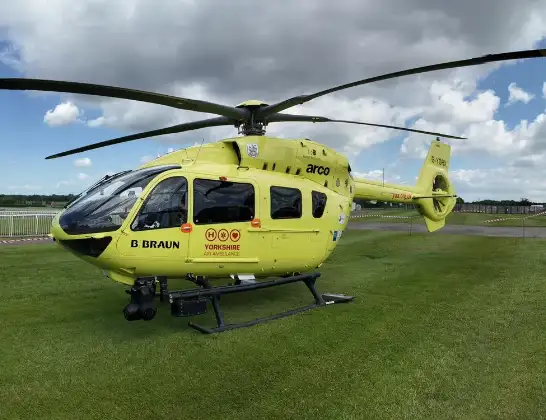
Helicopter: G-YORX
The helicopter G-YORX is used as a air ambulance helicopter. The main purpose of this aircraft is to transport a Mobile Medical Team to an incident as quickly as possible, enabling the trauma doctor to provide immediate first aid on site. The aircraft is flying this flight as Air Ambulance Helicopter.
Photo: Arollin96227
25 miles
1675 feet
113 mph
14 minutes
14:19
14:32

Route
Dyche Lane, South Yorkshire14:32
Sheffield, South Yorkshire14:26
Chapeltown, Sheffield14:26
Thorpe Hesley, Rotherham14:25
Wentworth, Rotherham14:25
Elsecar, Barnsley14:24
Jump, Barnsley14:24
Wombwell, South Yorkshire14:23
Ardsley, Barnsley14:22
Cudworth, South Yorkshire14:22
Upper Cudworth, Barnsley14:21
Shafton, Barnsley14:21
South Hiendley, Wakefield14:21
Havercroft, Wakefield14:20
Nostell, Wakefield14:19
Foulby, Wakefield14:19
YAA Nostell Helicopter Port, Foulby, Nostell, Yorkshire14:19
Live flights
Today
Flights Sheffield
to Sheffield, Cut Gate22 Feb 17:47
Air Ambulance Helicopter to Sheffield16 Feb 20:01
Helicopter flights on your website?
You can easily display helicopter flights on your own website. Use the embed code.
