Air Ambulance Helicopter to Sheffield, Crookes Valley Road
Monday, 9 February 2026 | 13:36 | From YAA Nostell Helicopter Port
On Monday, 9 February 2026 at 13:36, a Air Ambulance Helicopter departed from YAA Nostell Helicopter Port to Sheffield. It was the Air Ambulance Helicopter with registration number G-YORX. The flight lasted 11 minutes. During that period, the aircraft travelled 20 miles at an average speed of 108 miles per hour at a maximum altitude of 1875 feet.
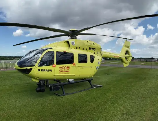
Helicopter: G-YORX
The helicopter G-YORX is used as a air ambulance helicopter. The main purpose of this aircraft is to transport a Mobile Medical Team to an incident as quickly as possible, enabling the trauma doctor to provide immediate first aid on site. The aircraft is flying this flight as Air Ambulance Helicopter.
Photo: Arollin96227
21 miles
1875 feet
108 mph
12 minutes
13:36
13:47

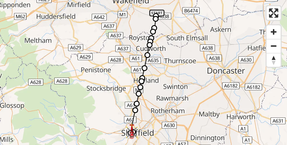
Route
Crookes Valley Road, South Yorkshire13:47
Sheffield, South Yorkshire13:46
Sheffield Childrens Hospital, Sheffield13:46
Sheffield, South Yorkshire13:44
Whitley, Sheffield13:44
Chapeltown, Sheffield13:43
Tankersley, Barnsley13:42
Hoyland Common, Barnsley13:42
Upper Hoyland, Barnsley13:42
Blacker Hill, Barnsley13:41
Ardsley, Barnsley13:40
Cudworth, South Yorkshire13:39
Upper Cudworth, Barnsley13:39
Shafton, Barnsley13:39
South Hiendley, Wakefield13:38
Havercroft, Wakefield13:38
Ryhill, Wakefield13:37
Nostell, Wakefield13:37
YAA Nostell Helicopter Port, Foulby, Nostell, Yorkshire13:36
Today
Flights Sheffield
Coastguard Helicopter to Humberside Airport22 Mar 15:25
Coastguard Helicopter to Ladybower Reservoir22 Mar 14:12
Air Ambulance Helicopter to Nottingham Heliport22 Mar 13:55
Air Ambulance Helicopter to Nottingham Heliport10 Mar 11:10
Helicopter flights on your website?
You can easily display helicopter flights on your own website. Use the embed code.
