Air Ambulance Helicopter to Newbiggin, Miry Lane
Saturday, 10 January 2026 | 11:45 | From Skirwith
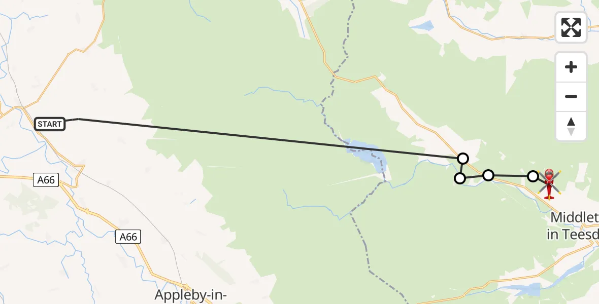
On Saturday, 10 January 2026 at 11:45, a Air Ambulance Helicopter departed from Skirwith to Newbiggin. It was the Air Ambulance Helicopter with registration number G-NHAE. The flight lasted 8 minutes. During that period, the aircraft travelled 22 miles at an average speed of 163 miles per hour at a maximum altitude of 3025 feet.
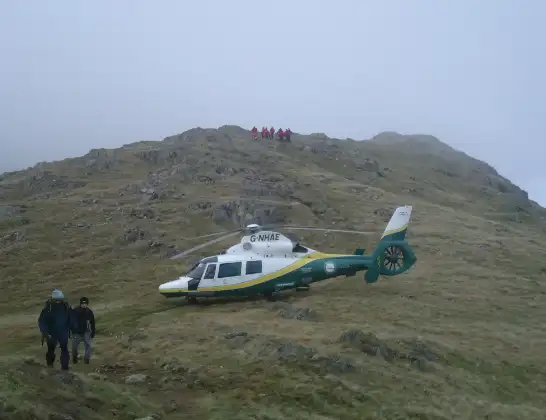
Helicopter: G-NHAE
The helicopter G-NHAE is used as a air ambulance helicopter. The main purpose of this aircraft is to transport a Mobile Medical Team to an incident as quickly as possible, enabling the trauma doctor to provide immediate first aid on site. The aircraft is flying this flight as Air Ambulance Helicopter.
Photo: Michael Earnshaw
22 miles
3025 feet
163 mph
9 minutes
11:45
11:53

Route
Miry Lane, North East11:53
Newbiggin, North East11:53
Forest and Frith, North East11:52
Lunedale, North East11:52
Forest and Frith, North East11:52
Skirwith, 11:45
Live flights
Today
Flights Newbiggin
Air Ambulance Helicopter to Langwathby, B641216 Jan 11:15
Air Ambulance Helicopter to Newbiggin, Miry Lane10 Jan 11:45
Flights Skirwith
Air Ambulance Helicopter to Ainstable, Ainstable14 Feb 12:09
Air Ambulance Helicopter to Newbiggin, Miry Lane10 Jan 11:45
Helicopter flights on your website?
You can easily display helicopter flights on your own website. Use the embed code.
