Air Ambulance Helicopter to Timsbury, North Road
Friday, 9 January 2026 | 15:51 | From Frome
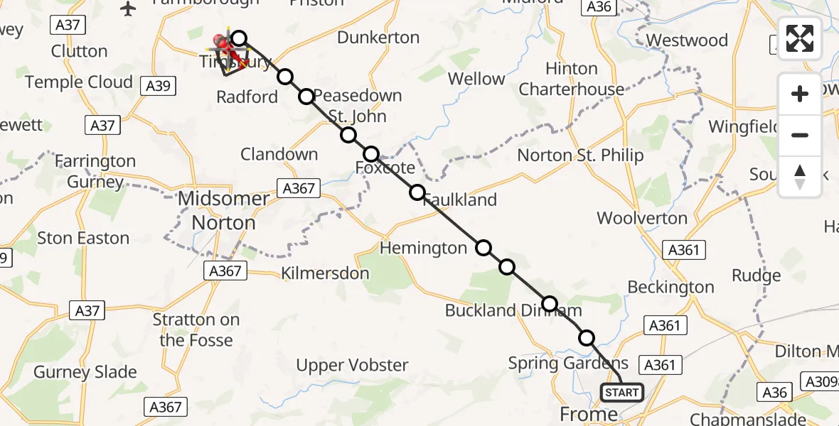
On Friday, 9 January 2026 at 15:51, a Air Ambulance Helicopter departed from Frome to Timsbury. It was the Air Ambulance Helicopter with registration number G-DSAA. The flight lasted 9 minutes. During that period, the aircraft travelled 13 miles at an average speed of 88 miles per hour at a maximum altitude of 1600 feet.
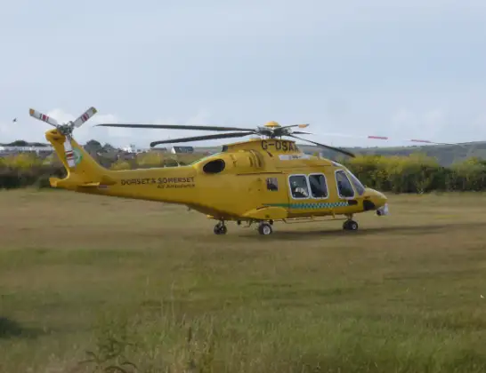
Helicopter: G-DSAA
The helicopter G-DSAA is used as a air ambulance helicopter. The main purpose of this aircraft is to transport a Mobile Medical Team to an incident as quickly as possible, enabling the trauma doctor to provide immediate first aid on site. The aircraft is flying this flight as Air Ambulance Helicopter.
Photo: Andrew Bone
14 miles
1600 feet
88 mph
10 minutes
15:51
16:00

Route
North Road, West of England16:00
Timsbury, West of England15:56
Radford, West of England15:56
Camerton, West of England15:55
Peasedown St. John, West of England15:55
Shoscombe, West of England15:55
Foxcote15:54
Faulkland15:53
Buckland Dinham15:53
15:53
Orchardleigh Private Airstrip, Frome, Somerset15:52
Berkley Road, 15:51
Frome15:51
Live flights
Today
Flights Timsbury
Air Ambulance Helicopter to Timsbury16 Jun 12:31
Flights Frome
Air Ambulance Helicopter to Frome, Rodden Road17 May 19:24
Air Ambulance Helicopter to Frome, Rodden Road17 May 19:09
Air Ambulance Helicopter to Frome13 Mar 19:20
Air Ambulance Helicopter to Frome13 Mar 19:09
Helicopter flights on your website?
You can easily display helicopter flights on your own website. Use the embed code.
