Air Ambulance Helicopter to Frome
Friday, 13 March 2026 | 19:09 | From Wiltshire Air Ambulance
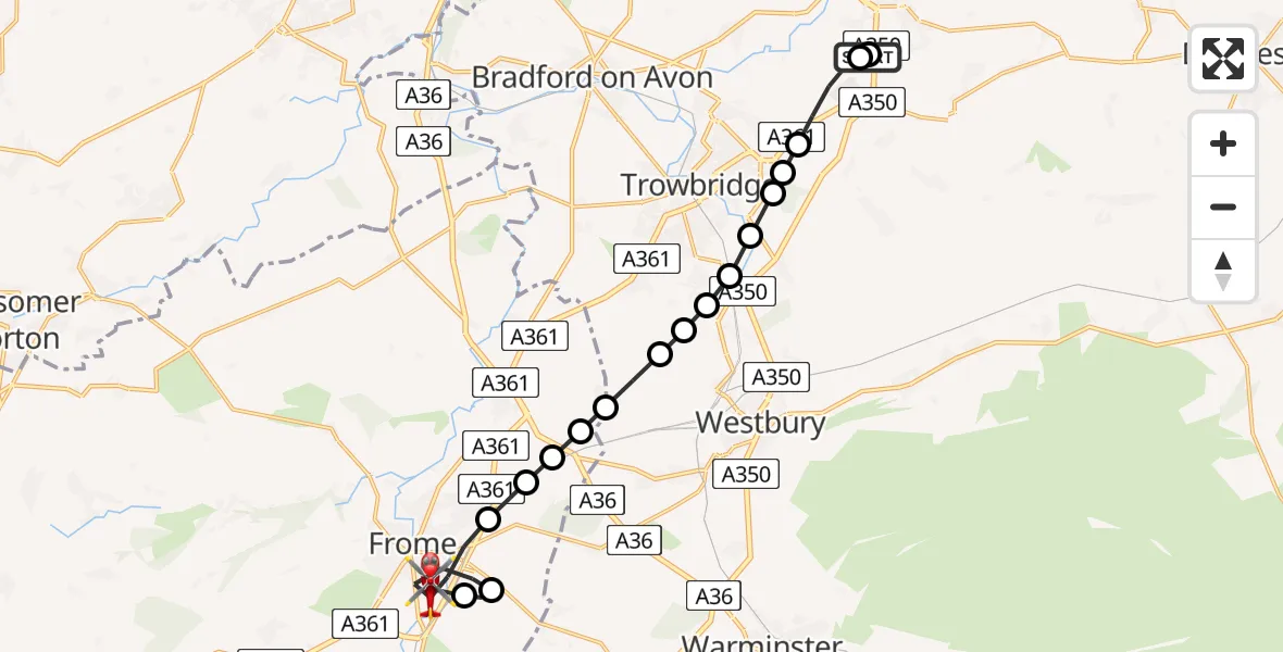
On Friday, 13 March 2026 at 19:09, a Air Ambulance Helicopter departed from Wiltshire Air Ambulance to Frome. It was the Air Ambulance Helicopter with registration number G-WLTS. The flight lasted 10 minutes. During that period, the aircraft travelled 15 miles at an average speed of 94 miles per hour at a maximum altitude of 1575 feet.
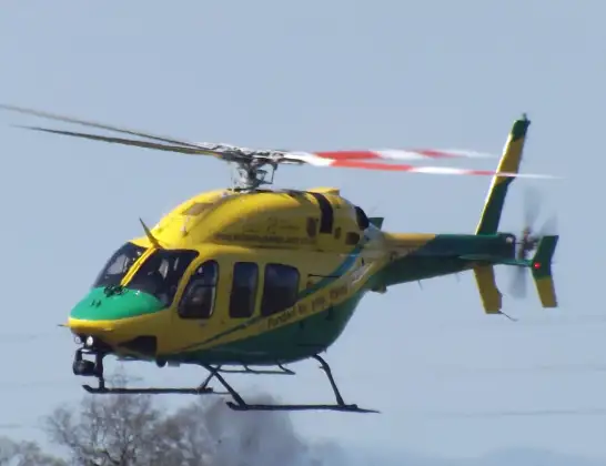
Helicopter: G-WLTS
The helicopter G-WLTS is used as a air ambulance helicopter. The main purpose of this aircraft is to transport a Mobile Medical Team to an incident as quickly as possible, enabling the trauma doctor to provide immediate first aid on site. The aircraft is flying this flight as Air Ambulance Helicopter.
Photo: James
16 miles
1575 feet
94 mph
10 minutes
19:09
19:19

Route
Frome, Frome19:19
Frome, Frome19:18
Frome, Frome19:17
East Woodlands, East Woodlands19:16
Frome, Frome19:14
Berkley, Berkley19:14
Beckington, Beckington19:14
Lower Rudge, Lower Rudge19:14
Beckington, Beckington19:13
Brokerswood, Brokerswood19:13
Hawkeridge, Hawkeridge19:13
North Bradley, North Bradley19:12
Yarnbrook, Yarnbrook19:12
West Ashton, West Ashton19:12
Trowbridge, Trowbridge19:12
Steeple Ashton, Steeple Ashton19:11
Hilperton, Hilperton19:11
Semington, Semington19:10
Commerce Way, Melksham19:10
Wiltshire Air Ambulance19:09
Live flights
Police Helicopter on its way from Dundrod12 Jul 22:50
Today
Police Helicopter to East Ardsley, Stoney Lane12 Jul 23:51
Police Helicopter to Birmingham Airport12 Jul 23:46
Police Helicopter to Parkham Ash12 Jul 23:41
Air Ambulance Helicopter to Newlands of Culloden12 Jul 23:24
Flights Frome
Air Ambulance Helicopter to Frome, Rodden Road17 May 19:24
Air Ambulance Helicopter to Frome, Rodden Road17 May 19:09
Air Ambulance Helicopter to Frome13 Mar 19:20
Air Ambulance Helicopter to Frome13 Mar 19:09
Helicopter flights on your website?
You can easily display helicopter flights on your own website. Use the embed code.
