Air Ambulance Helicopter on its way from Kettering
Wednesday, 18 November 2026 | 9:49
On Wednesday, 18 November 2026 | 9:49 at 9:49, a Air Ambulance Helicopter departed from Kettering and is now flying over Ernesford Grange. This is the Air Ambulance Helicopter with registration number G-WNAS. The flight has been in the air for 27 minutes. During that period, the aircraft travelled 34 miles at an average speed of 78 miles per hour at a maximum altitude of 2150 feet.
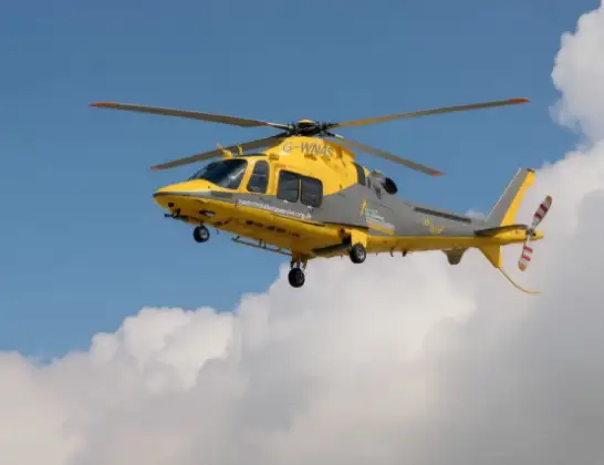
Helicopter: G-WNAS
The helicopter G-WNAS is used as an ambulance helicopter. The helicopter is equipped with a stretcher for transporting patients. The helicopter is often used to transport to hospitals.
Photo: Tony Melony

35 miles
2150 feet

78 mph
27 minutes
09:49
10:15:56
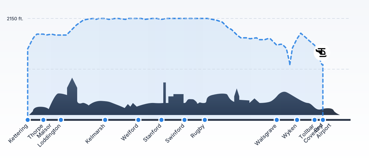
Route

Ernesford Grange, Coventry10:15

Stoke Hill, Coventry10:15
Wyken, Coventry10:15
Walsgrave, Coventry10:05
University Hospital Coventry, Coventry10:05
Walsgrave, Coventry10:03
Wyken, Coventry10:03
Walsgrave, Coventry10:03
Rugby, Warwickshire09:59
Catthorpe, Leicestershire09:58
Swinford, Leicestershire09:58
South Kilworth, Leicestershire09:57
Stanford on Avon, West Northamptonshire09:57
Stanford, West Northamptonshire09:57
Welford, West Northamptonshire09:55
Naseby, West Northamptonshire09:54
Kelmarsh, West Northamptonshire09:54
Rothwell, West Northamptonshire09:53
Rothwell, North Northamptonshire09:52
Loddington, North Northamptonshire09:51
Thorpe Malsor, North Northamptonshire09:50

East Avenue, North Northamptonshire09:49
Live flights


Today
Flights Kettering

Air Ambulance Helicopter to Coventry Airport17 Oct 08:41
Air Ambulance Helicopter to Kettering, Park View17 Oct 07:45
Air Ambulance Helicopter to Coventry Airport22 Aug 10:50
Helicopter flights on your website?
You can easily display helicopter flights on your own website. Use the embed code.