Police Helicopter to Knockentiber, Carmel Place
Wednesday, 9 September 2026 | 12:28 | From Brownside Avenue
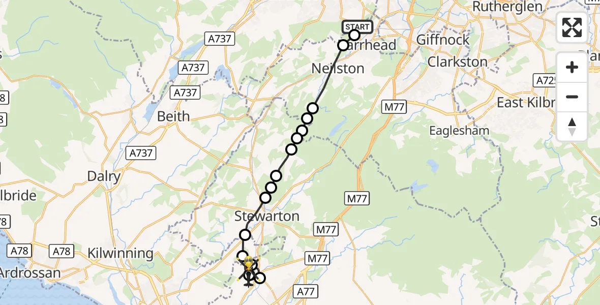
On Wednesday, 9 September 2026 at 12:28, a Police Helicopter departed from Brownside Avenue to Knockentiber. It was the Police Helicopter with registration number G-PSHU. The flight lasted 7 minutes. During that period, the aircraft travelled 15 miles at an average speed of 127 miles per hour at a maximum altitude of 1550 feet.
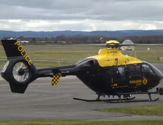
Helicopter: G-PSHU
The helicopter G-PSHU is used by the British police. The helicopter is deployed in pursuits, missing persons cases and other incidents where a helicopter provides added value.
Photo: James from Cheltenham, Gloucestershire

16 miles
1550 feet

127 mph
8 minutes
12:28
12:35
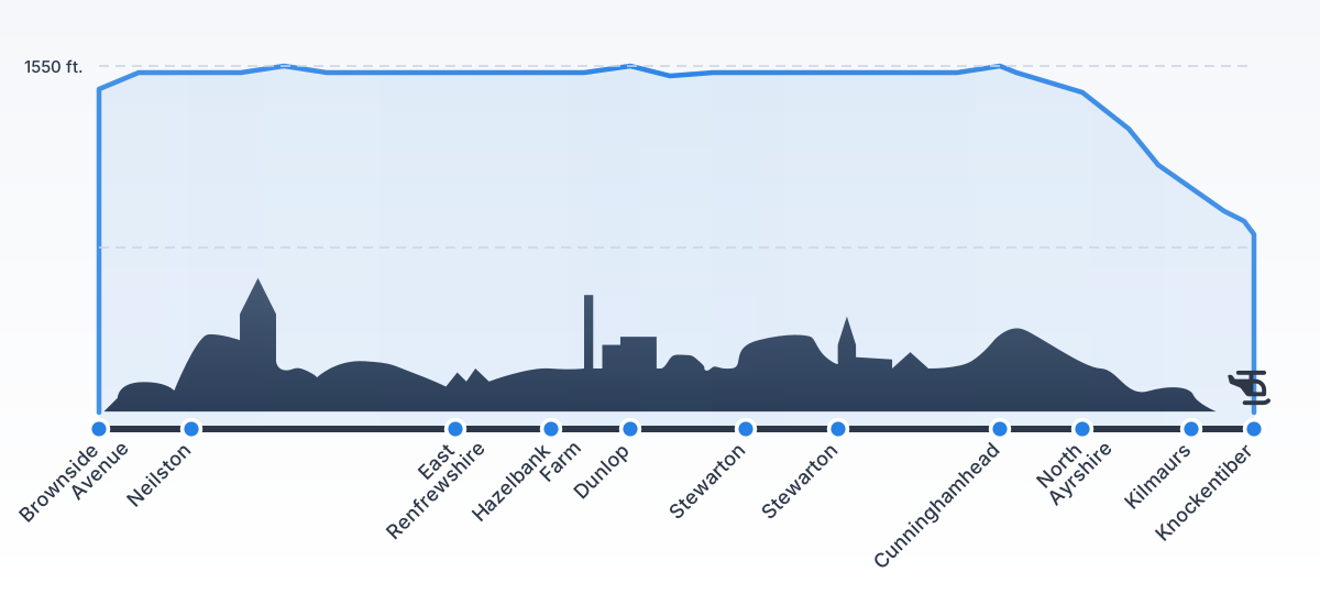
Route

Carmel Place, East Ayrshire12:35

Knockentiber, East Ayrshire12:35
Kilmaurs, East Ayrshire12:34
Stewarton, East Ayrshire12:34
North Ayrshire, North Ayrshire12:34
Cunninghamhead, North Ayrshire12:33
Stewarton, East Ayrshire12:32
Kingsford, East Ayrshire12:32
Stewarton, East Ayrshire12:32
Dunlop, East Ayrshire12:31
East Ayrshire, East Ayrshire12:31
Hazelbank Farm, East Ayrshire12:31
East Ayrshire, East Ayrshire12:30
East Renfrewshire, East Renfrewshire12:30
Neilston, East Renfrewshire12:28
Barrhead, East Renfrewshire12:28

Caplethill Road, Renfrewshire12:28
Live flights

Today


Flights Knockentiber

Police Helicopter to Knockentiber, Carmel Place9 Sept 12:28
Police Helicopter to Knockentiber5 Mar 16:46
Helicopter flights on your website?
You can easily display helicopter flights on your own website. Use the embed code.