Air Ambulance Helicopter to Uppingham, Station Road
Saturday, 1 August 2026 | 9:59 | From Coventry Airport
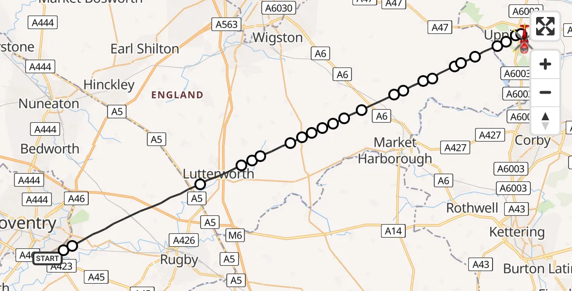
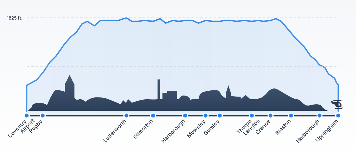
On Saturday, 1 August 2026 at 9:59, a Air Ambulance Helicopter departed from Coventry Airport to Uppingham. It was the Air Ambulance Helicopter with registration number G-WNAS. The flight lasted 13 minutes. During that period, the aircraft travelled 35 miles at an average speed of 162 miles per hour at a maximum altitude of 1825 feet.
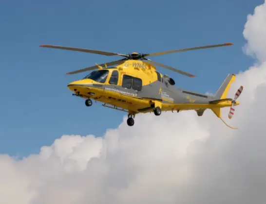
Helicopter: G-WNAS
The helicopter G-WNAS is used as an ambulance helicopter. The helicopter is equipped with a stretcher for transporting patients. The helicopter is often used to transport to hospitals.
Photo: Tony Melony

36 miles
1825 feet

162 mph
14 minutes
09:59
10:12
Route

Station Road, Rutland10:12

Uppingham, Rutland10:11
Oakham, Rutland10:11
Uppingham, Rutland10:10
Harborough, Rutland10:10
Horninghold, Leicestershire10:09
Hallaton, Leicestershire10:09
Blaston, Leicestershire10:09
Hallaton, Leicestershire10:08
Cranoe, Leicestershire10:08
Harborough, Leicestershire10:08
Thorpe Langton, Leicestershire10:07
West Langton, Leicestershire10:07
Gumley, Leicestershire10:06
Laughton, Leicestershire10:06
Mowsley, Leicestershire10:06
Shearsby, Leicestershire10:05
Mowsley, Leicestershire10:05
Harborough, Leicestershire10:05
Kimcote and Walton, Leicestershire10:04
Harborough, Leicestershire10:04
Gilmorton, Leicestershire10:04
Lutterworth, Leicestershire10:03
Rugby, Warwickshire09:59
Ernesford Grange, Warwickshire09:59

Coventry Airport, Coventry, West Midlands09:59
Live flights


Today
Flights Uppingham

Air Ambulance Helicopter to Coventry Airport1 Aug 10:53
Helicopter flights on your website?
You can easily display helicopter flights on your own website. Use the embed code.