Air Ambulance Helicopter to Twatt, Loons Road
Friday, 3 July 2026 | 16:45 | From Stornoway Airport
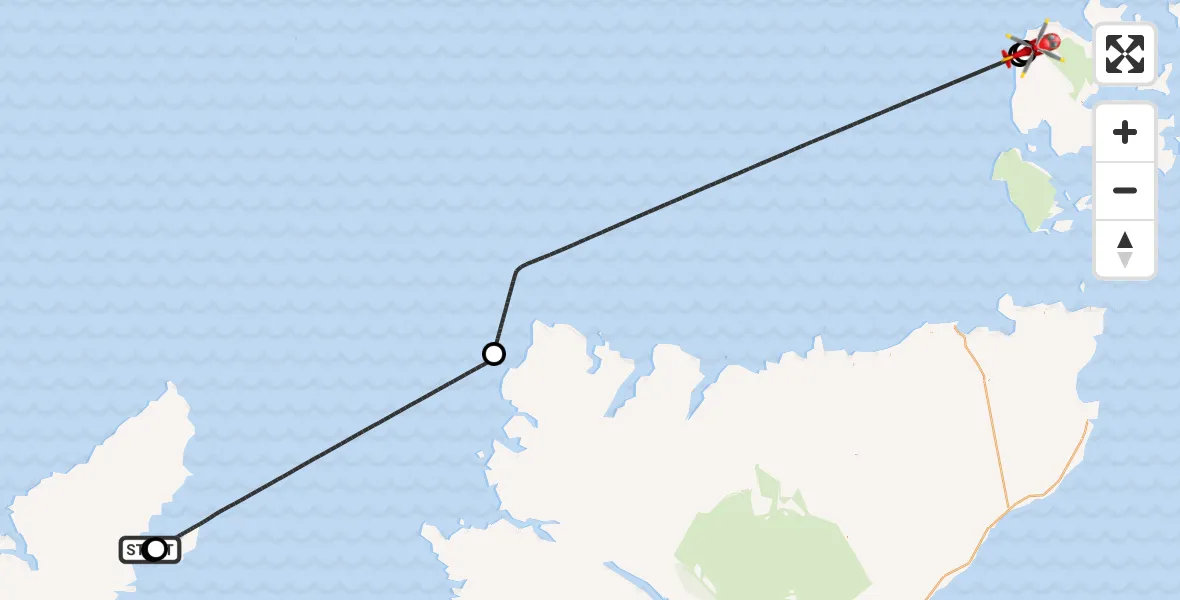
On Friday, 3 July 2026 at 16:45, a Air Ambulance Helicopter departed from Stornoway Airport to Twatt. It was the Air Ambulance Helicopter with registration number G-ISAS. The flight lasted 46 minutes. During that period, the aircraft travelled 129 miles at an average speed of 168 miles per hour at a maximum altitude of 7025 feet.
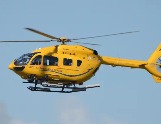
Helicopter: G-ISAS
The helicopter G-ISAS is used as a air ambulance helicopter. The main purpose of this aircraft is to transport a Mobile Medical Team to an incident as quickly as possible, enabling the trauma doctor to provide immediate first aid on site. The aircraft is flying this flight as Air Ambulance Helicopter.
Photo: Jonathan Payne
130 miles
7025 feet
168 mph
47 minutes
16:45
17:31

Route
Loons Road, Orkney Islands17:31
Twatt, Orkney Islands17:31
Orkney Islands, Orkney Islands17:31
North Atlantic Ocean17:05
Inner Seas16:47
Mealabost, Na h-Eileanan Siar16:47
Stornoway Airport, Stornoway, Western Isles16:45
Live flights
Today
Flights Twatt
Air Ambulance Helicopter to Twatt, Loons Road31 May 19:04
Helicopter flights on your website?
You can easily display helicopter flights on your own website. Use the embed code.
