Air Ambulance Helicopter to Bristol, Southmead Road
Sunday, 21 June 2026 | 11:35 | From Tytherleigh
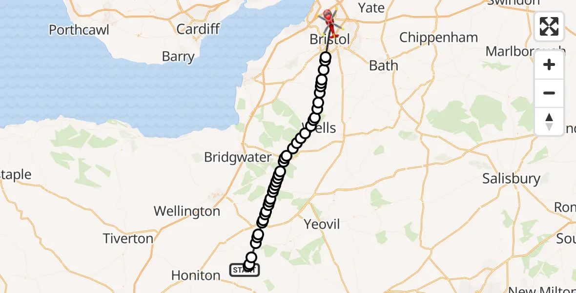
On Sunday, 21 June 2026 at 11:35, a Air Ambulance Helicopter departed from Tytherleigh to Bristol. It was the Air Ambulance Helicopter with registration number G-DAAS. The flight lasted 23 minutes. During that period, the aircraft travelled 51 miles at an average speed of 133 miles per hour at a maximum altitude of 41100 feet.
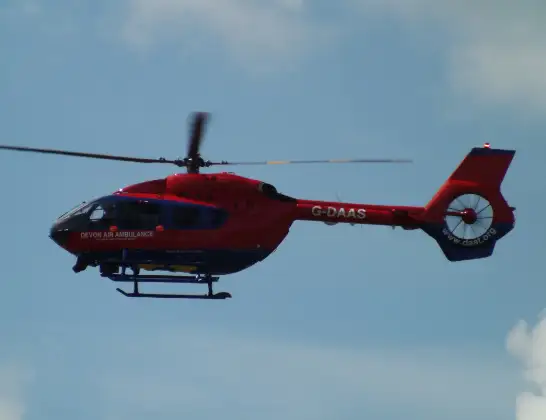
Helicopter: G-DAAS
The helicopter G-DAAS is used as a air ambulance helicopter. The main purpose of this aircraft is to transport a Mobile Medical Team to an incident as quickly as possible, enabling the trauma doctor to provide immediate first aid on site. The aircraft is flying this flight as Air Ambulance Helicopter.
Photo: James
51 miles
41100 feet
133 mph
24 minutes
11:35
11:58

Route
Bristol, Bristol, City of11:58
Southmead Road, Bristol, City of11:57
Bristol, Bristol, City of11:53
Dundry, North Somerset11:53
Chew Magna, Bath and North East Somerset11:52
Chew Stoke, Bath and North East Somerset11:51
Chew Valley Lake11:51
Compton Martin, Bath and North East Somerset11:51
West Harptree, Bath and North East Somerset11:50
Priddy, Somerset11:50
Chewton Mendip, Somerset11:49
Priddy, Somerset11:48
Wookey Hole, Somerset11:48
Haybridge, Somerset11:48
Wookey, Somerset11:47
Godney, Somerset11:46
Glastonbury, Somerset11:46
Sharpham, Somerset11:45
Walton, Somerset11:45
Ashcott, Somerset11:44
Walton, Somerset11:44
High Ham, Somerset11:43
Langport Airstrip, High Ham11:43
High Ham, Somerset11:43
Langport, Somerset11:43
Huish Episcopi, Somerset11:42
Curry Rivel, Somerset11:42
Huish Episcopi, Somerset11:42
Drayton, Somerset11:41
Curry Rivel, Somerset11:41
Hambridge, Somerset11:41
Isle Brewers, Somerset11:40
Barrington, Somerset11:40
Stocklinch, Somerset11:40
Whitelackington, Somerset11:39
Ilminster, Somerset11:38
Knowle St. Giles, Somerset11:38
Chaffcombe, Somerset11:38
Chard, Somerset11:36
South Chard, Somerset11:36
Thorncombe, Dorset11:35
Chard Road, Devon11:35
Live flights
Today
Flights Bristol
Police Helicopter to Tonypandy, Mountain Road18 Jun 14:10
Flights Tytherleigh
Helicopter flights on your website?
You can easily display helicopter flights on your own website. Use the embed code.
