Air Ambulance Helicopter to Pendle, Black Moss Road
Sunday, 14 June 2026 | 11:01 | From Common Edge
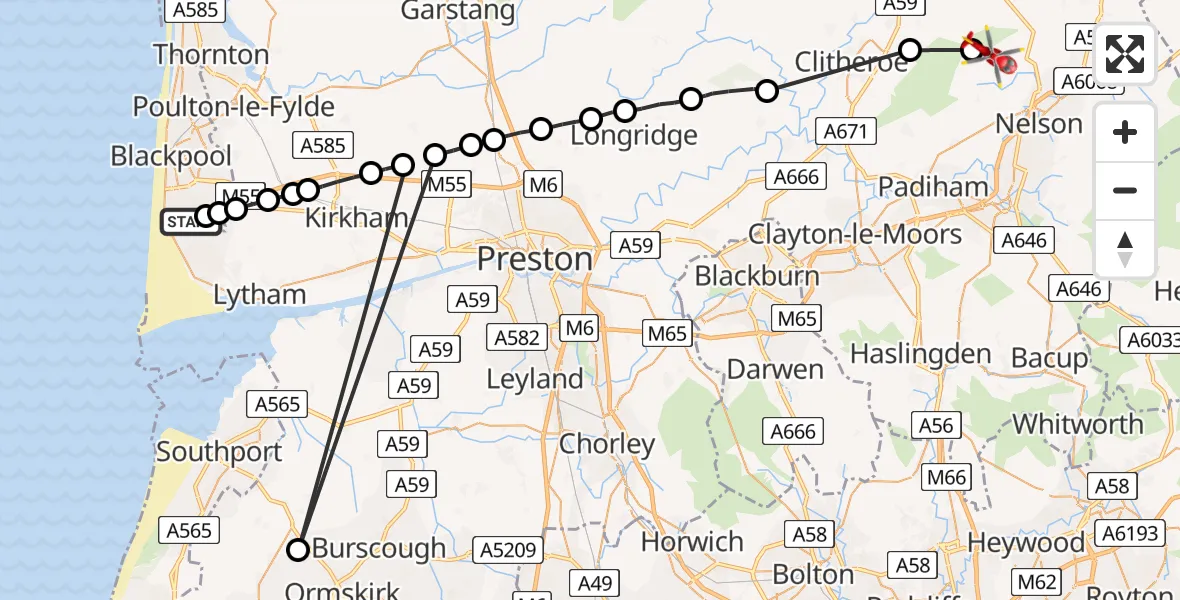
On Sunday, 14 June 2026 at 11:01, a Air Ambulance Helicopter departed from Common Edge to Pendle. It was the Air Ambulance Helicopter with registration number G-NWAA. The flight lasted 13 minutes. During that period, the aircraft travelled 64 miles at an average speed of 294 miles per hour at a maximum altitude of 1500 feet.
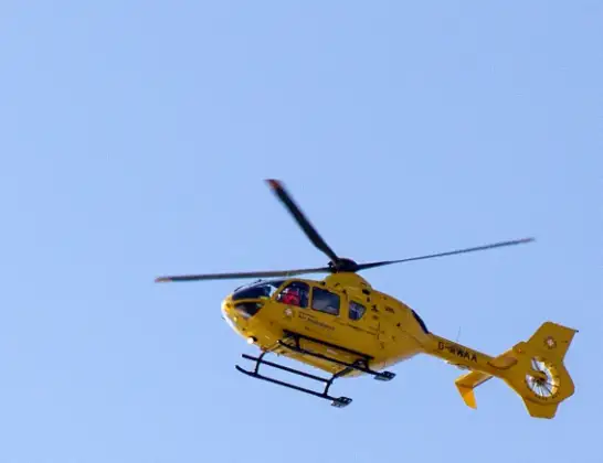
Helicopter: G-NWAA
The helicopter G-NWAA is used as a air ambulance helicopter. The main purpose of this aircraft is to transport a Mobile Medical Team to an incident as quickly as possible, enabling the trauma doctor to provide immediate first aid on site. The aircraft is flying this flight as Air Ambulance Helicopter.
Photo: David P Howard
64 miles
1500 feet
294 mph
13 minutes
11:01
11:14

Route
Black Moss Road, Lancashire11:14
Ribble Valley, Lancashire11:14
Worston, Lancashire11:13
Hurst Green, Lancashire11:11
Ribble Valley, Lancashire11:10
Longridge, Lancashire11:09
Preston, Lancashire11:08
Goosnargh, Lancashire11:07
Barton, Lancashire11:06
Woodplumpton, Lancashire11:06
Catforth, Lancashire11:05
Ormskirk, Lancashire11:05
Catforth, Lancashire11:05
Fylde, Lancashire11:04
Weeton, Lancashire11:03
Great Plumpton, Lancashire11:03
Weeton, Lancashire11:03
Fylde, Lancashire11:02
Marton Moss Side, Blackpool11:02
Great Marton Moss, Blackpool11:02
Weeton Avenue, Blackpool11:01
Live flights
Today
Flights Pendle
Helicopter flights on your website?
You can easily display helicopter flights on your own website. Use the embed code.
