Air Ambulance Helicopter to Lowestoft, Pakefield Road
Thursday, 21 May 2026 | 13:41 | From Norwich Airport
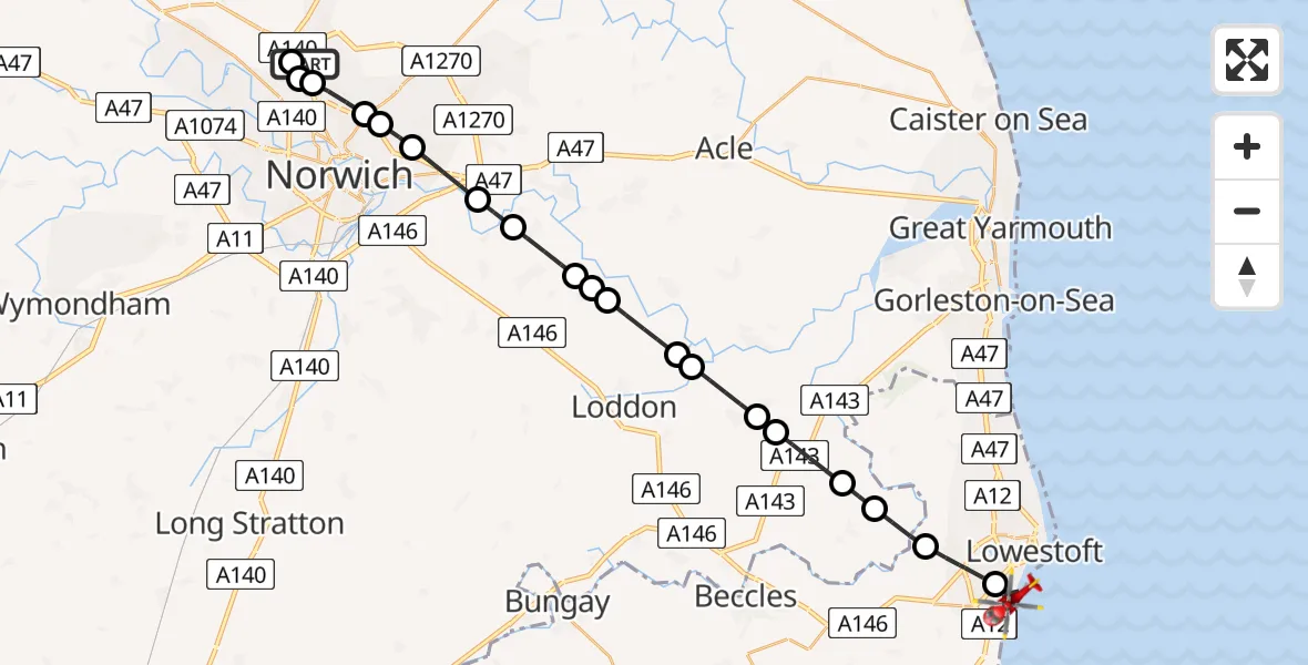
On Thursday, 21 May 2026 at 13:41, a Air Ambulance Helicopter departed from Norwich Airport to Lowestoft. It was the Air Ambulance Helicopter with registration number G-RESU. The flight lasted 17 minutes. During that period, the aircraft travelled 28 miles at an average speed of 99 miles per hour at a maximum altitude of 1000 feet.
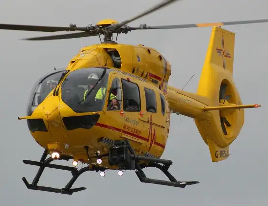
Helicopter: G-RESU
The helicopter G-RESU is used as a air ambulance helicopter. The main purpose of this aircraft is to transport a Mobile Medical Team to an incident as quickly as possible, enabling the trauma doctor to provide immediate first aid on site. The aircraft is flying this flight as Air Ambulance Helicopter.
Photo: Mike Burdett
28 miles
1000 feet
99 mph
17 minutes
13:41
13:58

Route
Pakefield Road, Suffolk13:58
Lowestoft, Suffolk13:56
Oulton Broad, Suffolk13:54
Burgh St. Peter, Norfolk13:54
Aldeby, Norfolk13:53
Haddiscoe, Norfolk13:52
Thurlton, Norfolk13:52
Norton Subcourse, Norfolk13:51
Hardley, Norfolk13:51
Langley Street, Norfolk13:50
Claxton, Norfolk13:49
Strumpshaw, Norfolk13:49
Surlingham, Norfolk13:48
Postwick, Norfolk13:48
Broadland, Norfolk13:47
Norwich, Norfolk13:46
Broadland, Norfolk13:46
Norwich, Norfolk13:45
Broadland, Norfolk13:45
Raymond Close, Norfolk13:45
Horsford, Norfolk13:44
Norwich Airport, Norwich, Norfolk13:41
Live flights
Today
Flights Lowestoft
Air Ambulance Helicopter to James Paget Hospital29 Jun 16:56
Air Ambulance Helicopter to Norwich Airport3 Jun 22:24
Air Ambulance Helicopter to Lowestoft, Peto Way25 May 15:50
Air Ambulance Helicopter to James Paget Hospital24 May 10:44
Air Ambulance Helicopter to James Paget Hospital21 May 15:03
Air Ambulance Helicopter to James Paget Hospital16 May 16:58
Helicopter flights on your website?
You can easily display helicopter flights on your own website. Use the embed code.
