Air Ambulance Helicopter to Thetford, Haling Path
Thursday, 21 May 2026 | 12:38 | From Earls Colne Airfield
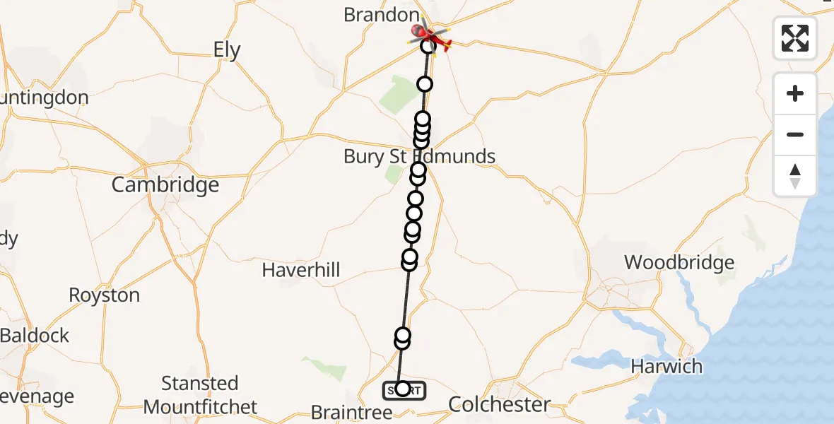
On Thursday, 21 May 2026 at 12:38, a Air Ambulance Helicopter departed from Earls Colne Airfield to Thetford. It was the Air Ambulance Helicopter with registration number G-EHAT. The flight lasted 19 minutes. During that period, the aircraft travelled 37 miles at an average speed of 118 miles per hour at a maximum altitude of 675 feet.
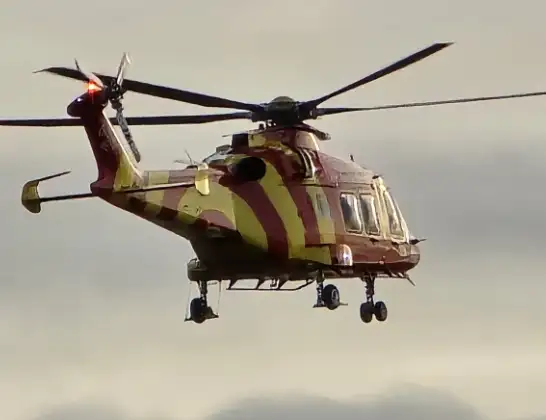
Helicopter: G-EHAT
The helicopter G-EHAT is used as a air ambulance helicopter. The main purpose of this aircraft is to transport a Mobile Medical Team to an incident as quickly as possible, enabling the trauma doctor to provide immediate first aid on site. The aircraft is flying this flight as Air Ambulance Helicopter.
Photo: By Steve Knight
38 miles
675 feet
118 mph
19 minutes
12:38
12:57

Route
Haling Path, Norfolk12:57
Thetford, Norfolk12:54
Barnham, Suffolk12:53
Ingham, Suffolk12:52
West Suffolk, Suffolk12:51
Fornham St Genevieve, Suffolk12:51
Fornham St Martin, Suffolk12:51
Bury St Edmunds, Suffolk12:50
West Suffolk, Suffolk12:50
Hawstead, Suffolk12:49
Lawshall, Suffolk12:48
Hartest, Suffolk12:48
Shimpling, Suffolk12:48
Stanstead, Suffolk12:47
Glemsford, Suffolk12:47
Braintree, Essex12:44
Park Farm Airstrip, Halstead, Essex12:44
Braintree, Essex12:42
Braintree, Essex12:42
Earls Colne Airfield, Colchester, Essex12:38
Live flights
Today
Flights Thetford
Air Ambulance Helicopter to Earls Colne Airfield21 May 13:58
Air Ambulance Helicopter to Papworth Hospital18 Apr 15:37
Air Ambulance Helicopter to Thetford18 Apr 14:41
Air Ambulance Helicopter to Thetford, Breckland27 Mar 20:13
Helicopter flights on your website?
You can easily display helicopter flights on your own website. Use the embed code.
