Air Ambulance Helicopter to Dunwich, Westleton Road
Sunday, 17 May 2026 | 15:20 | From Norwich Airport
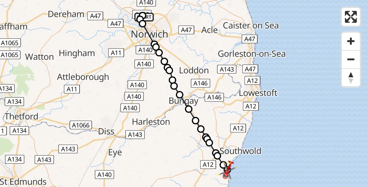
On Sunday, 17 May 2026 at 15:20, a Air Ambulance Helicopter departed from Norwich Airport to Dunwich. It was the Air Ambulance Helicopter with registration number G-RESU. The flight lasted 18 minutes. During that period, the aircraft travelled 34 miles at an average speed of 112 miles per hour at a maximum altitude of 1350 feet.
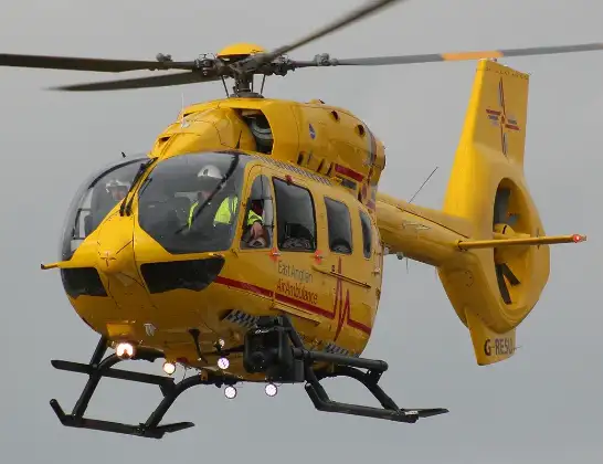
Helicopter: G-RESU
The helicopter G-RESU is used as a air ambulance helicopter. The main purpose of this aircraft is to transport a Mobile Medical Team to an incident as quickly as possible, enabling the trauma doctor to provide immediate first aid on site. The aircraft is flying this flight as Air Ambulance Helicopter.
Photo: Mike Burdett
35 miles
1350 feet
112 mph
19 minutes
15:20
15:39

Route
Westleton Road, Suffolk15:39
Dunwich, Suffolk15:37
Westleton, Suffolk15:36
Blythburgh, Suffolk15:35
Wenhaston, Suffolk15:35
Blyford, Suffolk15:34
Holton, Suffolk15:34
RAF Halesworth, Halesworth, Suffolk15:33
Westhall, Suffolk15:33
Stone Street, Suffolk15:32
East Suffolk, Suffolk15:31
Bungay, Suffolk15:30
South Norfolk, Norfolk15:29
Woodton, Norfolk15:28
South Norfolk, Norfolk15:28
Brooke, Norfolk15:27
South Norfolk, Norfolk15:27
Poringland, Norfolk15:26
Arminghall, Norfolk15:26
Caistor St Edmund, Norfolk15:25
Norwich, Norfolk15:24
Drayton, Norfolk15:23
Horsford, Norfolk15:22
Norwich Airport, Norwich, Norfolk15:21
Norwich Airport, Norwich, Norfolk15:20
Live flights
Today
Flights Dunwich
Helicopter flights on your website?
You can easily display helicopter flights on your own website. Use the embed code.
