Air Ambulance Helicopter to Paulsgrove, Compass Road
Thursday, 14 May 2026 | 11:54 | From University Hospital Southampton
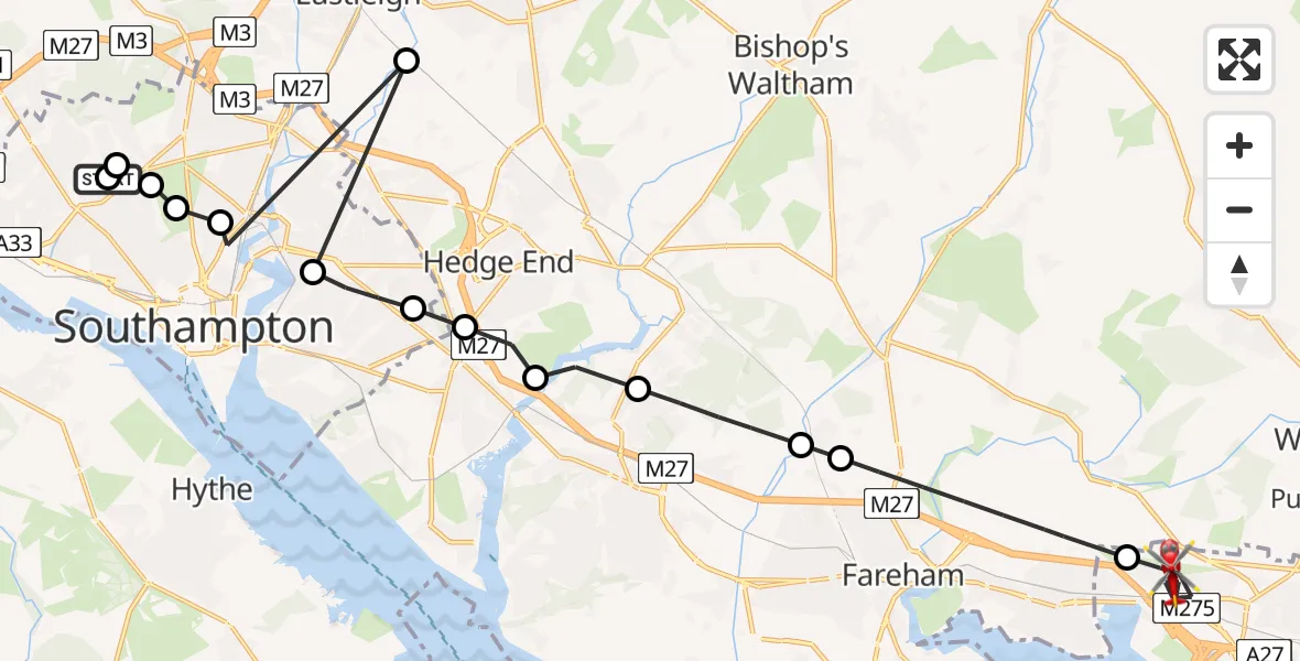
On Thursday, 14 May 2026 at 11:54, a Air Ambulance Helicopter departed from University Hospital Southampton to Paulsgrove. It was the Air Ambulance Helicopter with registration number G-HIOW. The flight lasted 10 minutes. During that period, the aircraft travelled 24 miles at an average speed of 146 miles per hour at a maximum altitude of 1550 feet.
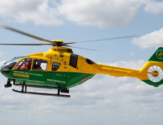
Helicopter: G-HIOW
The helicopter G-HIOW is used as a air ambulance helicopter. The main purpose of this aircraft is to transport a Mobile Medical Team to an incident as quickly as possible, enabling the trauma doctor to provide immediate first aid on site. The aircraft is flying this flight as Air Ambulance Helicopter.
Photo: JF2608
24 miles
1550 feet
146 mph
10 minutes
11:54
12:04

Route
Paulsgrove, Portsmouth12:04
Compass Road, Portsmouth12:03
Collington Crescent, Portsmouth12:03
Allaway Avenue, Portsmouth12:02
Paulsgrove, Portsmouth12:01
Fareham, Hampshire11:59
Knowle, Hampshire11:59
Whiteley, Hampshire11:58
Fareham, Hampshire11:58
Hedge End, Hampshire11:57
Thornhill, Southampton11:57
Bitterne, Southampton11:56
Eastleigh, Hampshire11:56
Portswood Park, Southampton11:55
Bassett, Southampton11:55
Banister's Park, Southampton11:55
Seymour Road, Southampton11:54
Hollybrook, Southampton11:54
University Hospital Southampton, Southampton11:54
Live flights
Today
Flights Paulsgrove
Helicopter flights on your website?
You can easily display helicopter flights on your own website. Use the embed code.
