Police Helicopter to MOD St Athan
Tuesday, 5 May 2026 | 0:24 | From Llandyfaelog
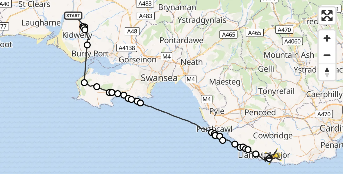
On Tuesday, 5 May 2026 at 0:24, a Police Helicopter departed from Llandyfaelog to MOD St Athan. It was the Police Helicopter with registration number G-NWOI. The flight lasted 40 minutes. During that period, the aircraft travelled 56 miles at an average speed of 85 miles per hour at a maximum altitude of 2275 feet.
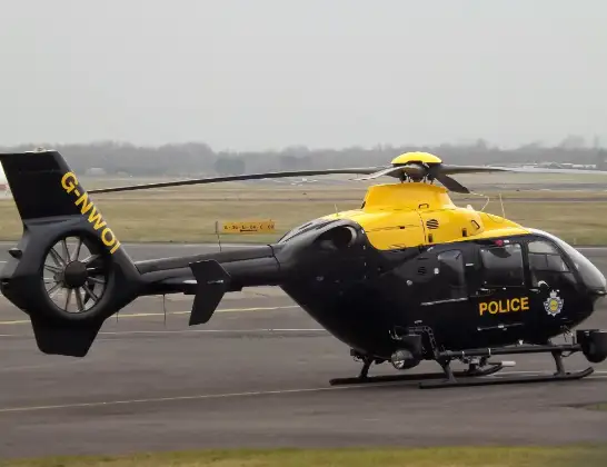
Helicopter: G-NWOI
The helicopter G-NWOI is used by the British police. The helicopter is deployed in pursuits, missing persons cases and other incidents where a helicopter provides added value.
Photo: James from Cheltenham
56 miles
2275 feet
85 mph
40 minutes
00:24
01:04

Route
MOD St Athan, St Athan, Vale of Glamorgan01:04
Boverton, Vale of Glamorgan01:03
Llantwit Major, Vale of Glamorgan01:02
Marcross, Vale of Glamorgan01:01
Monknash, Vale of Glamorgan01:01
Wick, Vale of Glamorgan01:00
St Brides Major, Vale of Glamorgan01:00
Southerndown, Vale of Glamorgan01:00
Ogmore-by-Sea, Vale of Glamorgan00:59
Newton, Bridgend00:58
Porthcawl, Bridgend00:58
Newton, Bridgend00:58
Porthcawl, Bridgend00:57
Bristol Channel00:51
Bishopston, Swansea00:51
Pennard, Swansea00:50
Southgate, Swansea00:50
Parkmill, Swansea00:49
Penmaen, Swansea00:49
Nicholaston, Swansea00:48
Ilston, Swansea00:48
Reynoldston, Swansea00:47
Llangennith, Swansea00:46
Burry Port, Carmarthenshire00:44
Trimsaran, Carmarthenshire00:42
Meinciau, Carmarthenshire00:41
Llandyfaelog, Carmarthenshire00:41
Meinciau, Carmarthenshire00:41
Llandyfaelog, Carmarthenshire00:24
Live flights
Today
Police Helicopter to Monifieth03:27:33
Flights Llandyfaelog
Air Ambulance Helicopter to Llandyfaelog23 Jun 12:39
Police Helicopter to MOD St Athan5 May 00:24
Helicopter flights on your website?
You can easily display helicopter flights on your own website. Use the embed code.
