Air Ambulance Helicopter to Wall, Military Road
Monday, 4 May 2026 | 16:50 | From Rothbury
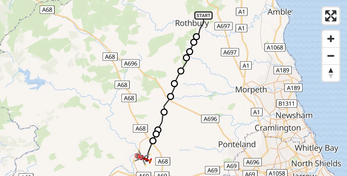
On Monday, 4 May 2026 at 16:50, a Air Ambulance Helicopter departed from Rothbury to Wall. It was the Air Ambulance Helicopter with registration number G-NHAD. The flight lasted 10 minutes. During that period, the aircraft travelled 25 miles at an average speed of 156 miles per hour at a maximum altitude of 1550 feet.
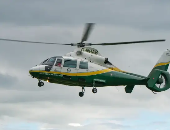
Helicopter: G-NHAD
The helicopter G-NHAD is used as a air ambulance helicopter. The main purpose of this aircraft is to transport a Mobile Medical Team to an incident as quickly as possible, enabling the trauma doctor to provide immediate first aid on site. The aircraft is flying this flight as Air Ambulance Helicopter.
Photo: Samloynes 1
26 miles
1550 feet
156 mph
10 minutes
16:50
17:00

Route
Military Road, Northumberland17:00
Wall, Northumberland16:58
Chollerton, Northumberland16:57
Whittington, Northumberland16:57
Bavington, Northumberland16:56
Kirkwhelpington, Northumberland16:55
Wallington Demesne, Northumberland16:54
Rothley, Northumberland16:54
Hollinghill, Northumberland16:53
Nunnykirk, Northumberland16:53
Hollinghill, Northumberland16:52
Hesleyhurst, Northumberland16:52
Rothbury, Northumberland16:50
Live flights
Today
Flights Wall
Police Helicopter to Wall22 Feb 00:13
Police Helicopter to Wall21 Feb 23:57
Flights Rothbury
Helicopter flights on your website?
You can easily display helicopter flights on your own website. Use the embed code.
