Air Ambulance Helicopter to Wash, Sheffield Road
Monday, 4 May 2026 | 14:33 | From YAA Nostell Helicopter Port
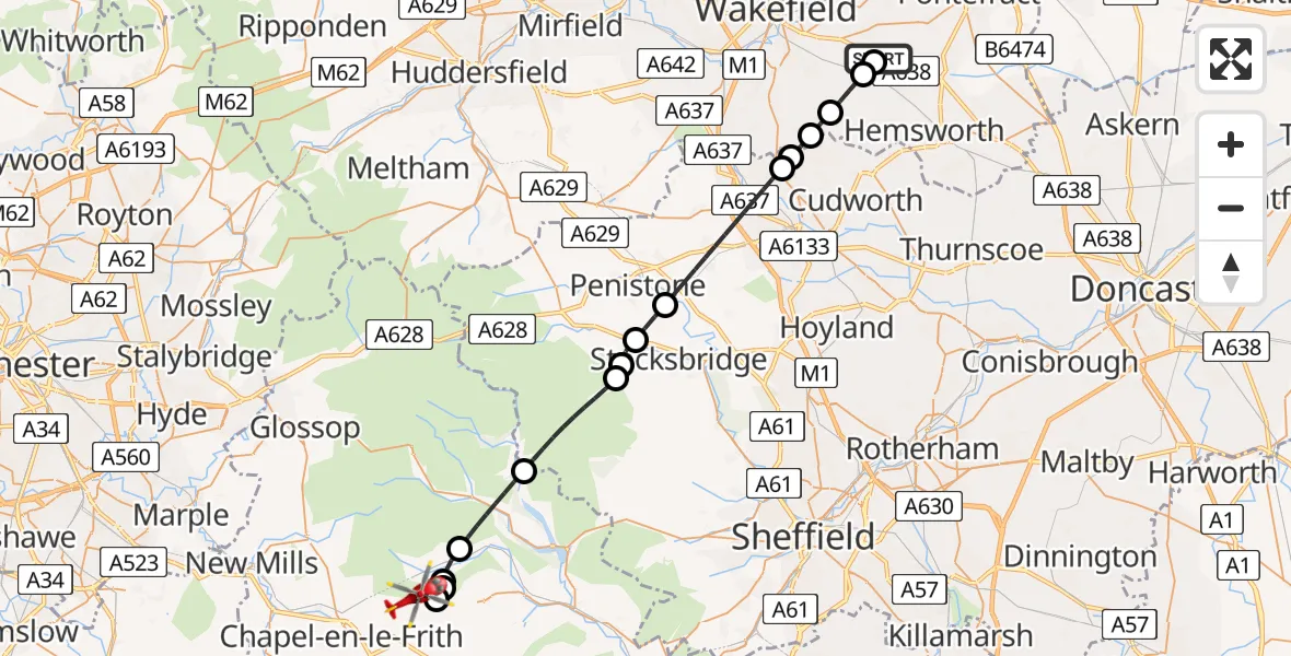
On Monday, 4 May 2026 at 14:33, a Air Ambulance Helicopter departed from YAA Nostell Helicopter Port to Wash. It was the Air Ambulance Helicopter with registration number G-YAAA. The flight lasted 17 minutes. During that period, the aircraft travelled 29 miles at an average speed of 104 miles per hour at a maximum altitude of 2075 feet.
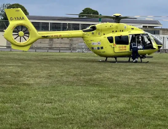
Helicopter: G-YAAA
The helicopter G-YAAA is used as a air ambulance helicopter. The main purpose of this aircraft is to transport a Mobile Medical Team to an incident as quickly as possible, enabling the trauma doctor to provide immediate first aid on site. The aircraft is flying this flight as Air Ambulance Helicopter.
Photo: Jennifer Petrie
30 miles
2075 feet
104 mph
17 minutes
14:33
14:50

Route
Wash, Derbyshire14:50
Sheffield Road, Derbyshire14:50
Wash, Derbyshire14:48
Upper Booth, Derbyshire14:47
High Peak, Derbyshire14:47
Edale, Derbyshire14:47
High Peak, Derbyshire14:45
Bradfield, Sheffield14:43
Midhopestones, Sheffield14:42
Stocksbridge, Sheffield14:42
Oxspring, Barnsley14:41
Barnsley, Barnsley14:38
Royston, Wakefield14:38
Notton, Wakefield14:37
Cold Hiendley, Wakefield14:37
Wintersett, Wakefield14:36
Sharlston, Wakefield14:35
YAA Nostell Helicopter Port, Foulby, Nostell, Yorkshire14:34
YAA Nostell Helicopter Port, Foulby, Nostell, Yorkshire14:33
Live flights
Today
Police Helicopter to Glasgow, Edzell Court2 Aug 22:27
Police Helicopter to Mollinsburn2 Aug 22:20
Air Ambulance Helicopter to Cardiff Heliport2 Aug 21:45
Police Helicopter to MOD St Athan2 Aug 21:32
Flights Wash
Helicopter flights on your website?
You can easily display helicopter flights on your own website. Use the embed code.
