Air Ambulance Helicopter to Haile
Sunday, 3 May 2026 | 18:36 | From Edenhall
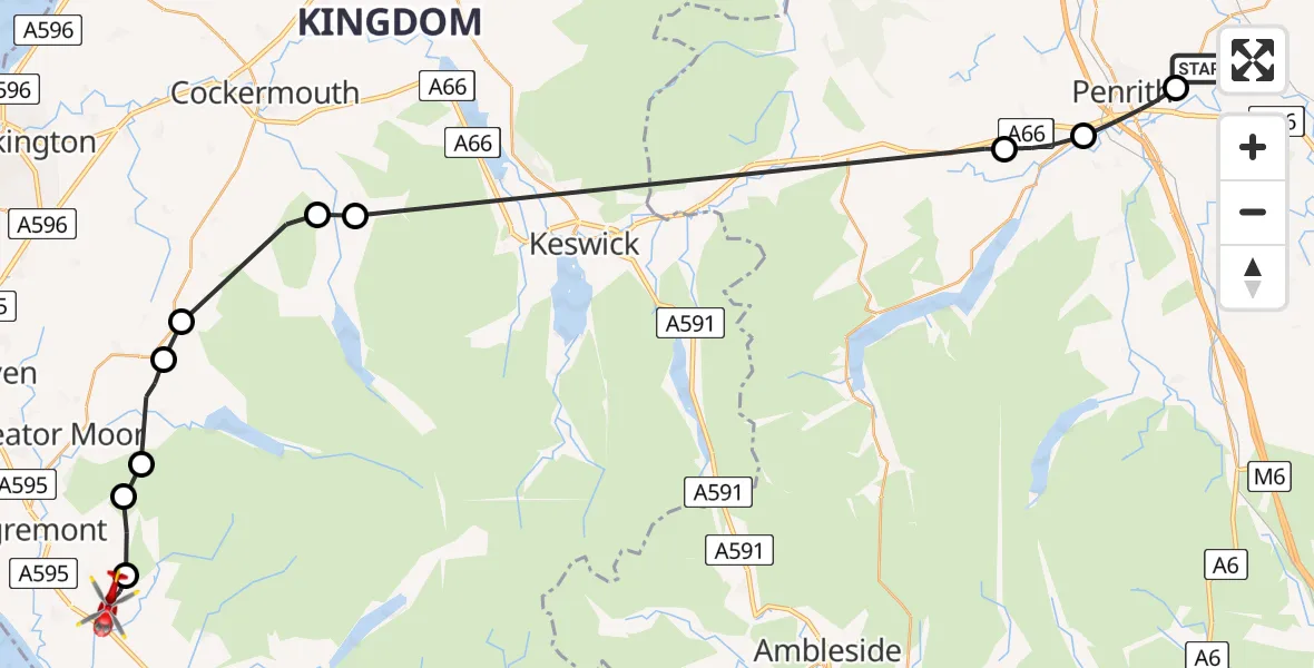
On Sunday, 3 May 2026 at 18:36, a Air Ambulance Helicopter departed from Edenhall to Haile. It was the Air Ambulance Helicopter with registration number G-NHAE. The flight lasted 14 minutes. During that period, the aircraft travelled 40 miles at an average speed of 172 miles per hour at a maximum altitude of 1825 feet.
Helicopter: G-NHAE
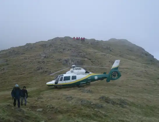
The helicopter G-NHAE is used as a air ambulance helicopter. The main purpose of this aircraft is to transport a Mobile Medical Team to an incident as quickly as possible, enabling the trauma doctor to provide immediate first aid on site. The aircraft is flying this flight as Air Ambulance Helicopter.
Photo: Michael Earnshaw
40 miles
1825 feet
172 mph
14 minutes
18:36
18:50

Route
Haile, Cumberland18:50
Ponsonby, Cumberland18:50
Haile, Cumberland18:49
Ennerdale and Kinniside, Cumberland18:49
Kirkland, Cumberland18:48
Lamplugh, Cumberland18:47
Blindbothel, Cumberland18:46
High Lorton, Cumberland18:45
Newbiggin, Westmorland and Furness18:39
Stainton, Westmorland and Furness18:38
Penrith, Westmorland and Furness18:37
Edenhall, Westmorland and Furness18:36
Live flights
Today
Flights Haile
Flights Edenhall
Air Ambulance Helicopter to Edenhall2 May 17:46
Air Ambulance Helicopter to Lakes2 May 16:11
Air Ambulance Helicopter to Edenhall, The Avenue26 Apr 18:45
Air Ambulance Helicopter to Irish Sea23 Apr 19:25
Air Ambulance Helicopter to Edenhall, Langwathby22 Apr 20:52
Helicopter flights on your website?
You can easily display helicopter flights on your own website. Use the embed code.
