Air Ambulance Helicopter to Merthyr Tydfil, Goitre Lane
Sunday, 3 May 2026 | 11:34 | From Glynneath
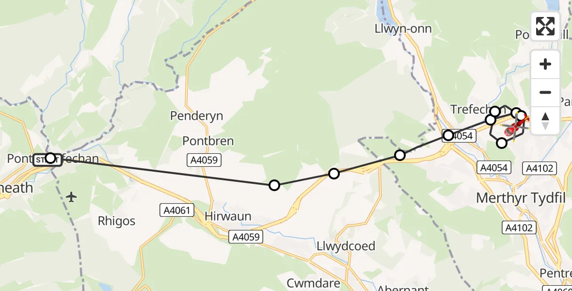
On Sunday, 3 May 2026 at 11:34, a Air Ambulance Helicopter departed from Glynneath to Merthyr Tydfil. It was the Air Ambulance Helicopter with registration number G-WYDN. The flight lasted 6 minutes. During that period, the aircraft travelled 12 miles at an average speed of 115 miles per hour at a maximum altitude of 1800 feet.

Helicopter: G-WYDN
The helicopter G-WYDN is used as a air ambulance helicopter. The main purpose of this aircraft is to transport a Mobile Medical Team to an incident as quickly as possible, enabling the trauma doctor to provide immediate first aid on site. The aircraft is flying this flight as Air Ambulance Helicopter.
Photo: Tony Melony
12 miles
1800 feet
115 mph
7 minutes
11:34
11:41

Route
Goitre Lane, Merthyr Tydfil11:41
Merthyr Tydfil, Merthyr Tydfil11:40
Pant, Merthyr Tydfil11:40
Prince Charles Hospital Helipad, Merthyr Tydfil11:39
Merthyr Tydfil, Merthyr Tydfil11:39
Pant, Merthyr Tydfil11:38
Trefechan, Merthyr Tydfil11:38
Clwydyfagwyr, Merthyr Tydfil11:37
Llwydcoed, Rhondda Cynon Taf11:37
Hirwaun, Rhondda Cynon Taf11:36
Pontwalby, Neath Port Talbot11:34
Pontneathvaughan Road, Neath Port Talbot11:34
Live flights
Today
Flights Glynneath
Air Ambulance Helicopter to Glynneath26 Apr 15:54
Helicopter flights on your website?
You can easily display helicopter flights on your own website. Use the embed code.
