Air Ambulance Helicopter to South Oxfordshire, Cholsey
Sunday, 3 May 2026 | 9:46 | From Kintbury
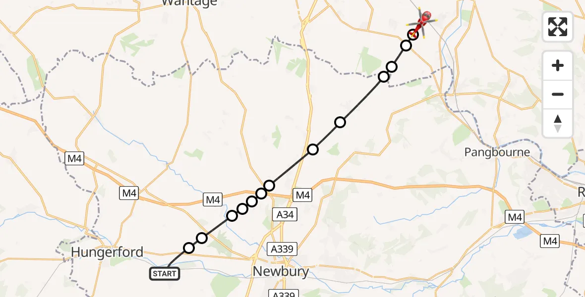
On Sunday, 3 May 2026 at 9:46, a Air Ambulance Helicopter departed from Kintbury to South Oxfordshire. It was the Air Ambulance Helicopter with registration number G-TVLY. The flight lasted 8 minutes. During that period, the aircraft travelled 17 miles at an average speed of 134 miles per hour at a maximum altitude of 1550 feet.
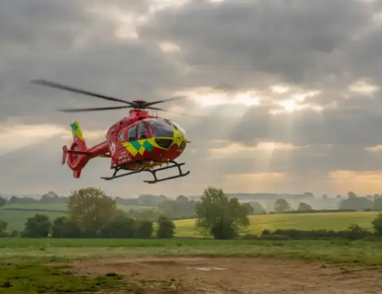
Helicopter: G-TVLY
The helicopter G-TVLY is used as a air ambulance helicopter. The main purpose of this aircraft is to transport a Mobile Medical Team to an incident as quickly as possible, enabling the trauma doctor to provide immediate first aid on site. The aircraft is flying this flight as Air Ambulance Helicopter.
Photo: Tony Melony
17 miles
1550 feet
134 mph
8 minutes
09:46
09:54

Route
Cholsey, Oxfordshire09:54
South Oxfordshire, Oxfordshire09:54
Aston Tirrold, Oxfordshire09:54
South Oxfordshire, Oxfordshire09:53
Streatley, West Berkshire09:53
Compton, West Berkshire09:52
Hampstead Norreys, West Berkshire09:51
Chieveley, West Berkshire09:50
Boxford, West Berkshire09:49
Easton, West Berkshire09:49
Boxford, West Berkshire09:49
Easton, West Berkshire09:49
Hoe Benham, West Berkshire09:48
Welford, West Berkshire09:47
Church Street, West Berkshire09:46
Live flights
Police Helicopter on its way from East Ardsley10 Jul 22:27
Police Helicopter on its way from Cookstown10 Jul 22:24
Today
Police Helicopter to English Channel10 Jul 22:12
Police Helicopter to Brynmawr, Brecknock Close10 Jul 22:04
Police Helicopter to Sewardstonebury, Bury Road10 Jul 21:55
Police Helicopter to Almondsbury Helicopter Base10 Jul 21:44
Police Helicopter to Harborough, Sulby Road10 Jul 21:35
Coastguard Helicopter to Humberside Airport10 Jul 21:35
Police Helicopter to RAF Benson10 Jul 21:32
Flights Kintbury
Helicopter flights on your website?
You can easily display helicopter flights on your own website. Use the embed code.
