Air Ambulance Helicopter to Loveclough, Burnley Road
Saturday, 2 May 2026 | 11:42 | From Barrow
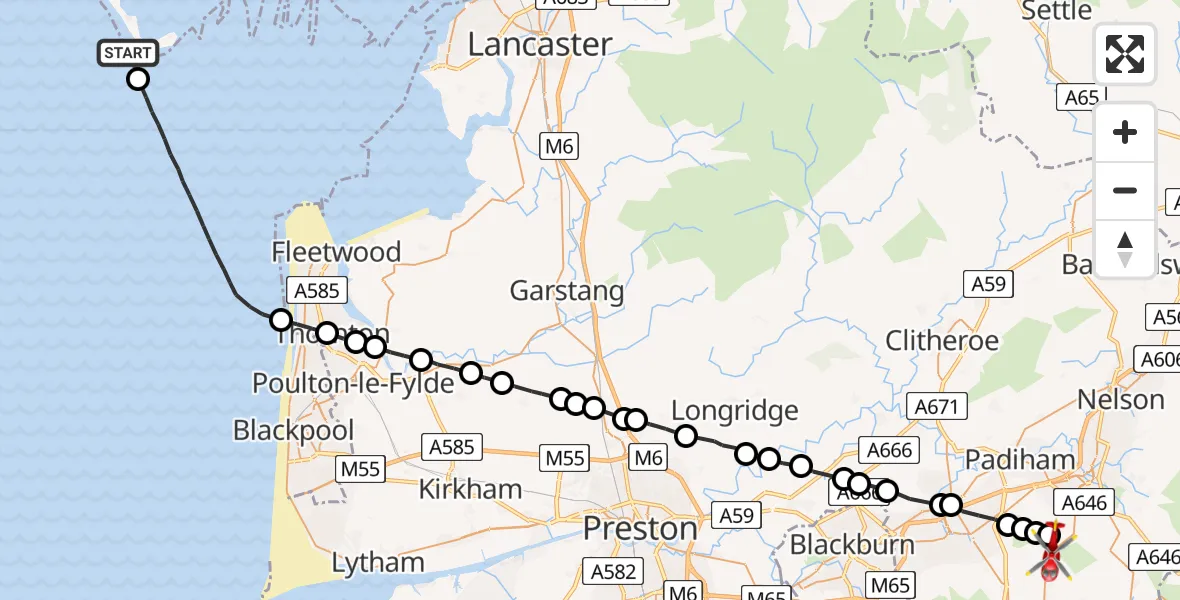
On Saturday, 2 May 2026 at 11:42, a Air Ambulance Helicopter departed from Barrow to Loveclough. It was the Air Ambulance Helicopter with registration number G-NWAA. The flight lasted 19 minutes. During that period, the aircraft travelled 47 miles at an average speed of 150 miles per hour at a maximum altitude of 1725 feet.
Helicopter: G-NWAA
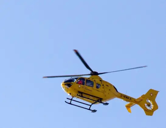
The helicopter G-NWAA is used as a air ambulance helicopter. The main purpose of this aircraft is to transport a Mobile Medical Team to an incident as quickly as possible, enabling the trauma doctor to provide immediate first aid on site. The aircraft is flying this flight as Air Ambulance Helicopter.
Photo: David P Howard
48 miles
1725 feet
150 mph
19 minutes
11:42
12:01

Route
Burnley Road, Lancashire12:01
Burnley, Lancashire12:01
Loveclough, Lancashire12:01
Burnley, Lancashire12:00
Accrington, Lancashire12:00
Huncoat, Lancashire11:59
Clayton-le-Moors, Lancashire11:59
Rishton, Lancashire11:58
Wilpshire, Lancashire11:58
Salesbury, Lancashire11:57
Osbaldeston, Lancashire11:57
Balderstone, Lancashire11:56
Longridge, Lancashire11:56
Grimsargh, Lancashire11:55
Goosnargh, Lancashire11:54
Broughton, Lancashire11:54
Eaves, Lancashire11:53
Preston, Lancashire11:53
Wyre, Lancashire11:53
Inskip, Lancashire11:52
Great Eccleston, Lancashire11:51
Little Eccleston, Lancashire11:50
Hambleton, Lancashire11:49
Little Thornton, Lancashire11:49
Thornton, Lancashire11:49
Cleveleys, Lancashire11:48
Irish Sea11:43
Barrow, Westmorland and Furness11:42
Live flights
Today
Flights Loveclough
Flights Barrow
Helicopter flights on your website?
You can easily display helicopter flights on your own website. Use the embed code.
