Air Ambulance Helicopter to Buntingford, Vicarage Road
Saturday, 2 May 2026 | 9:31 | From Great Shelford
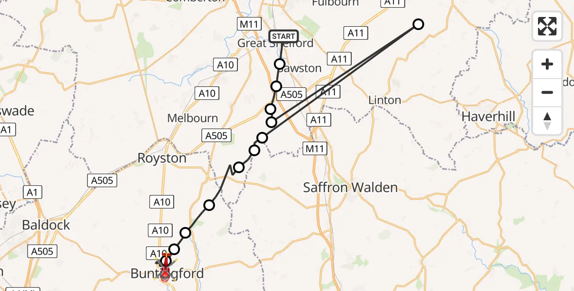
On Saturday, 2 May 2026 at 9:31, a Air Ambulance Helicopter departed from Great Shelford to Buntingford. It was the Air Ambulance Helicopter with registration number G-SCAA. The flight lasted 9 minutes. During that period, the aircraft travelled 40 miles at an average speed of 269 miles per hour at a maximum altitude of 1400 feet.
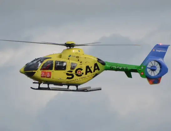
Helicopter: G-SCAA
The helicopter G-SCAA is used as a air ambulance helicopter. The main purpose of this aircraft is to transport a Mobile Medical Team to an incident as quickly as possible, enabling the trauma doctor to provide immediate first aid on site. The aircraft is flying this flight as Air Ambulance Helicopter.
Photo: Jonathan Payne
41 miles
1400 feet
269 mph
10 minutes
09:31
09:40

Route
Vicarage Road, Hertfordshire09:40
Buntingford, Hertfordshire09:38
Wyddial, Hertfordshire09:37
Barkway, Hertfordshire09:37
North Hertfordshire, Hertfordshire09:36
Great Chishill, Cambridgeshire09:34
Heydon, Cambridgeshire09:34
Duxford, Cambridgeshire09:33
Weston Colville, Cambridgeshire09:33
Duxford, Cambridgeshire09:33
Duxford Aerodrome, Duxford09:32
Whittlesford, Cambridgeshire09:32
Sawston, Cambridgeshire09:31
Hinton Way, Cambridgeshire09:31
Live flights
Today
Police Helicopter to Sheepwash19:54:14
Flights Buntingford
Helicopter flights on your website?
You can easily display helicopter flights on your own website. Use the embed code.
