Air Ambulance Helicopter to Enfield, Merryhills Way
Friday, 1 May 2026 | 13:34 | From Royal London Hospital
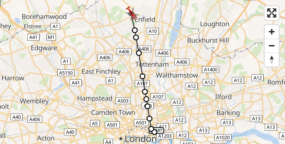
On Friday, 1 May 2026 at 13:34, a Air Ambulance Helicopter departed from Royal London Hospital to Enfield. It was the Air Ambulance Helicopter with registration number G-LAAA. The flight lasted 9 minutes. During that period, the aircraft travelled 12 miles at an average speed of 79 miles per hour at a maximum altitude of 1075 feet.
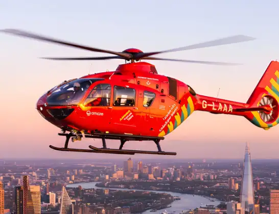
Helicopter: G-LAAA
The helicopter G-LAAA is used as a air ambulance helicopter. The main purpose of this aircraft is to transport a Mobile Medical Team to an incident as quickly as possible, enabling the trauma doctor to provide immediate first aid on site. The aircraft is flying this flight as Air Ambulance Helicopter.
Photo: Ton Snoei
12 miles
1075 feet
79 mph
9 minutes
13:34
13:43

Route
Merryhills Way, Greater London - Enfield13:43
Enfield, Enfield13:40
Palmers Green, Enfield13:40
Bowes, Enfield13:40
West Green, Haringey13:39
Stamford Hill, Hackney13:38
West Hackney, Hackney13:38
Dalston, Hackney13:38
Haggerston, Hackney13:37
Whitechapel, Tower Hamlets13:37
Wapping, Tower Hamlets13:37
Royal London Hospital, London13:36
Royal London Hospital, London13:34
Live flights
Today
Flights Enfield
Police Helicopter to Enfield, West Road2 Jul 23:58
Police Helicopter to Sewardstonebury, Bury Road21 May 23:13
Police Helicopter to Enfield, Enfield Greenways21 May 22:29
Police Helicopter to Chingford, Bury Road12 May 01:26
Police Helicopter to Enfield17 Apr 03:33
Helicopter flights on your website?
You can easily display helicopter flights on your own website. Use the embed code.
