Air Ambulance Helicopter to Wetheral
Thursday, 30 April 2026 | 16:28 | From Longtown
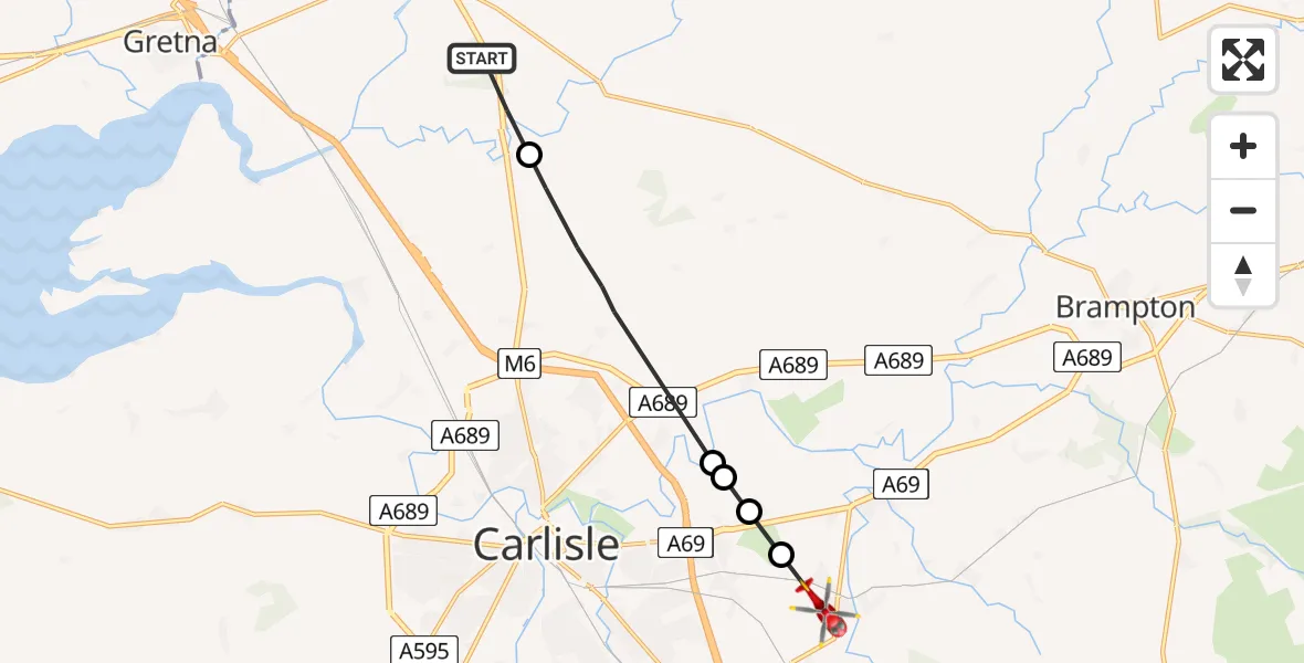
On Thursday, 30 April 2026 at 16:28, a Air Ambulance Helicopter departed from Longtown to Wetheral. It was the Air Ambulance Helicopter with registration number G-NHAE. The flight lasted 4 minutes. During that period, the aircraft travelled 9 miles at an average speed of 141 miles per hour at a maximum altitude of 1475 feet.
Helicopter: G-NHAE
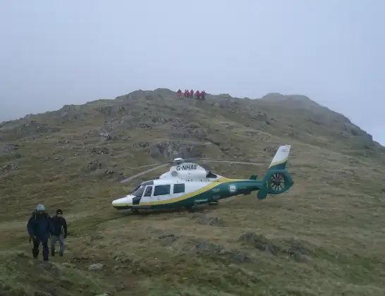
The helicopter G-NHAE is used as a air ambulance helicopter. The main purpose of this aircraft is to transport a Mobile Medical Team to an incident as quickly as possible, enabling the trauma doctor to provide immediate first aid on site. The aircraft is flying this flight as Air Ambulance Helicopter.
Photo: Michael Earnshaw
9 miles
1475 feet
141 mph
4 minutes
16:28
16:32

Route
Wetheral, Cumberland16:32
Wetheral, Cumberland16:31
Warwick, Cumberland16:31
Warwick-on-Eden, Cumberland16:31
Stanwix Rural, Cumberland16:30
Westlinton, Cumberland16:28
Carlisle Road, Cumberland16:28
Today
Coastguard Helicopter to Inverness Airport29 Jul 23:41
Flights Wetheral
Coastguard Helicopter to Lakes, The Band30 Jun 13:35
Air Ambulance Helicopter to Wetheral6 May 13:26
Air Ambulance Helicopter to Wetheral30 Apr 16:28
Flights Longtown
Air Ambulance Helicopter to Eaglesfield19 Jul 11:00
Air Ambulance Helicopter to Longtown, A607114 Jun 11:17
Air Ambulance Helicopter to Longtown, Clodock13 Jun 16:03
Air Ambulance Helicopter to Wetheral30 Apr 16:28
Helicopter flights on your website?
You can easily display helicopter flights on your own website. Use the embed code.
