Police Helicopter to Upper Drumbane
Thursday, 30 April 2026 | 11:28 | From Gilmerton
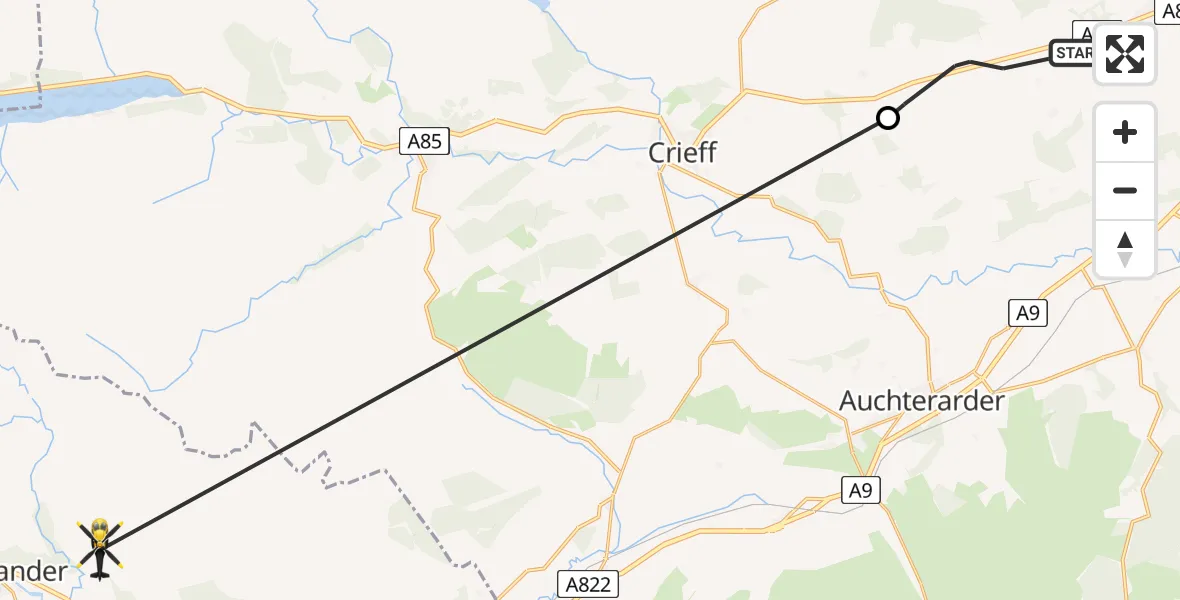
On Thursday, 30 April 2026 at 11:28, a Police Helicopter departed from Gilmerton to Upper Drumbane. It was the Police Helicopter with registration number G-BZRS. The flight lasted 10 minutes. During that period, the aircraft travelled 24 miles at an average speed of 143 miles per hour at a maximum altitude of 2625 feet.

Helicopter: G-BZRS
The helicopter G-BZRS is used by the British police. The helicopter is deployed in pursuits, missing persons cases and other incidents where a helicopter provides added value.
Photo: NMOS332
24 miles
2625 feet
143 mph
10 minutes
11:28
11:38

Route
Upper Drumbane, Stirling11:38
Woodend House, Perth and Kinross11:30
A85, Perth and Kinross11:28
Live flights
Today
Police Helicopter to RAF Benson20:49:30
Flights Gilmerton
Police Helicopter to Upper Drumbane30 Apr 11:28
Helicopter flights on your website?
You can easily display helicopter flights on your own website. Use the embed code.
