Air Ambulance Helicopter to Eastleigh, Meadow Nature Trail
Wednesday, 29 April 2026 | 17:50 | From Lyndhurst
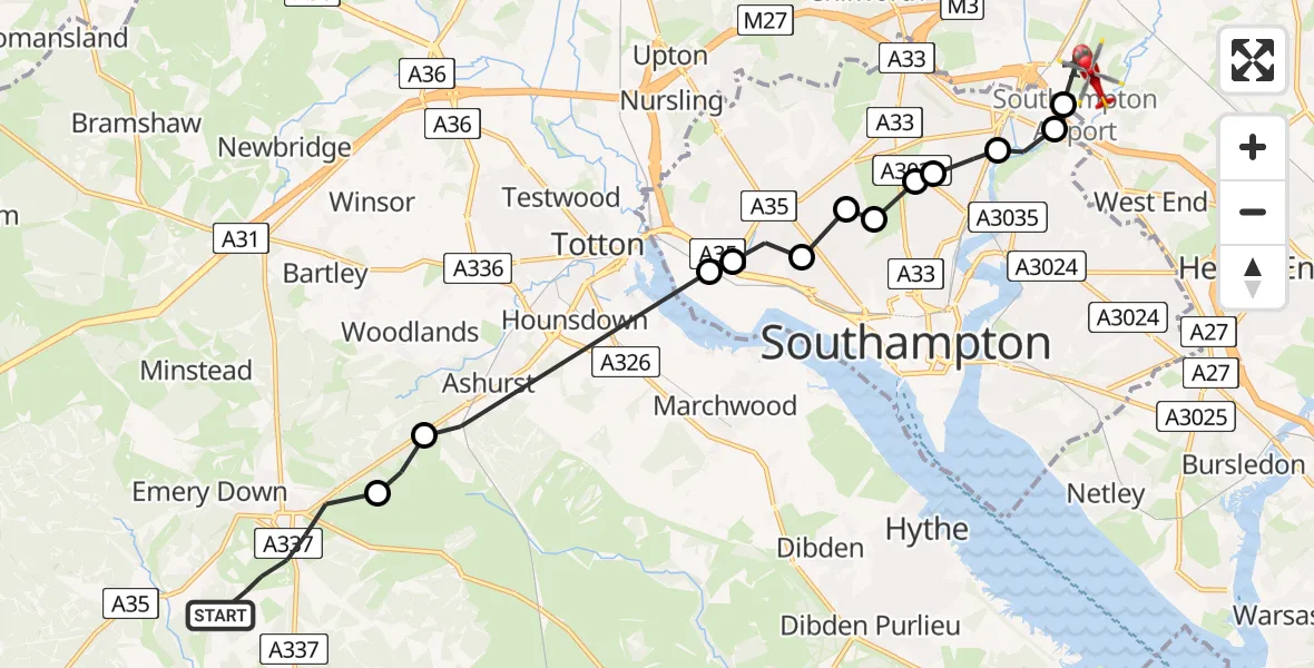
On Wednesday, 29 April 2026 at 17:50, a Air Ambulance Helicopter departed from Lyndhurst to Eastleigh. It was the Air Ambulance Helicopter with registration number G-HIOW. The flight lasted 8 minutes. During that period, the aircraft travelled 14 miles at an average speed of 103 miles per hour at a maximum altitude of 1025 feet.
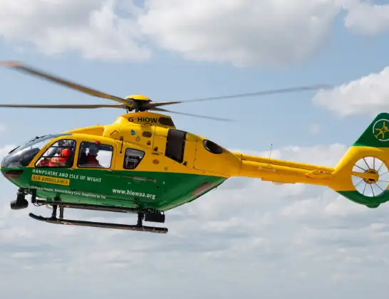
Helicopter: G-HIOW
The helicopter G-HIOW is used as a air ambulance helicopter. The main purpose of this aircraft is to transport a Mobile Medical Team to an incident as quickly as possible, enabling the trauma doctor to provide immediate first aid on site. The aircraft is flying this flight as Air Ambulance Helicopter.
Photo: JF2608
14 miles
1025 feet
103 mph
8 minutes
17:50
17:58

Route
Meadow Nature Trail, Hampshire17:58
Southampton Airport, Southampton17:58
Mansbridge, Southampton17:57
Swaythling, Southampton17:57
Hampton Park, Southampton17:56
Bassett, Southampton17:56
St James, Southampton17:56
Banister's Park, Southampton17:55
Shirley, Southampton17:55
Regents Park, Southampton17:55
Millbrook, Southampton17:54
Ashurst, Hampshire17:52
New Forest, Hampshire17:52
Pinkney Lane, Hampshire17:50
Today
Flights Eastleigh
Air Ambulance Helicopter to Ryde, Weeks Road10 Jul 09:17
Flights Lyndhurst
Helicopter flights on your website?
You can easily display helicopter flights on your own website. Use the embed code.
