Air Ambulance Helicopter to Cummersdale
Wednesday, 29 April 2026 | 16:25 | From Grasmere
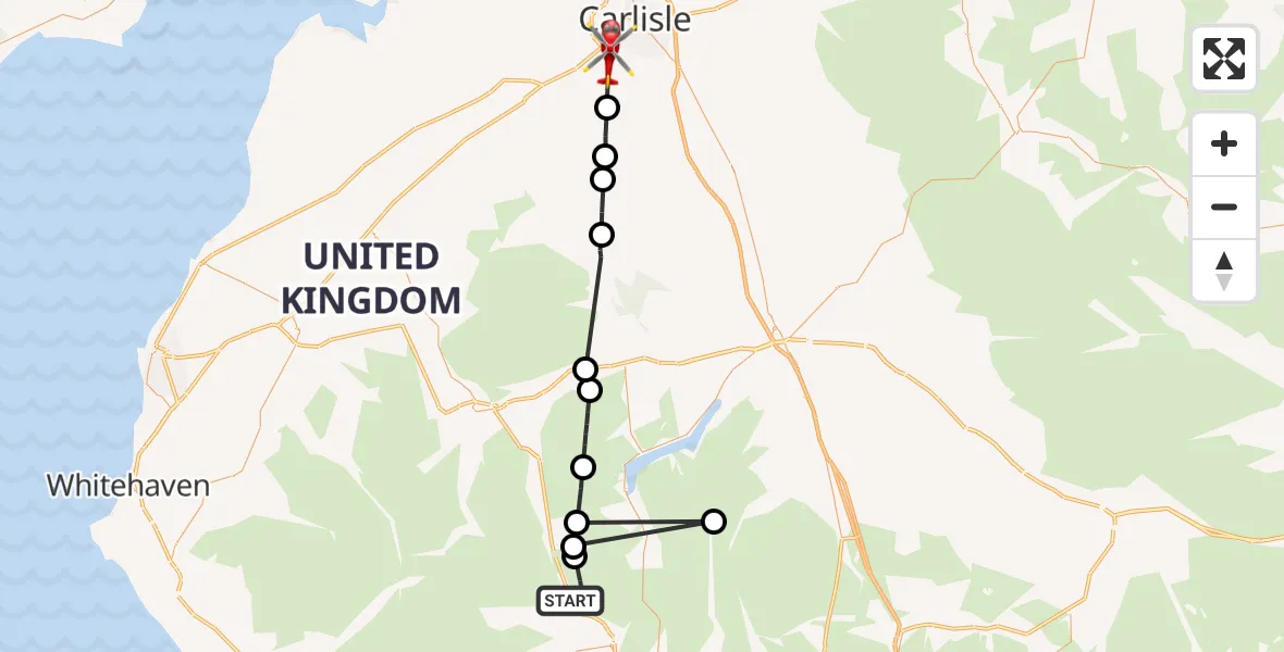
On Wednesday, 29 April 2026 at 16:25, a Air Ambulance Helicopter departed from Grasmere to Cummersdale. It was the Air Ambulance Helicopter with registration number G-NWAA. The flight lasted 12 minutes. During that period, the aircraft travelled 42 miles at an average speed of 216 miles per hour at a maximum altitude of 3175 feet.
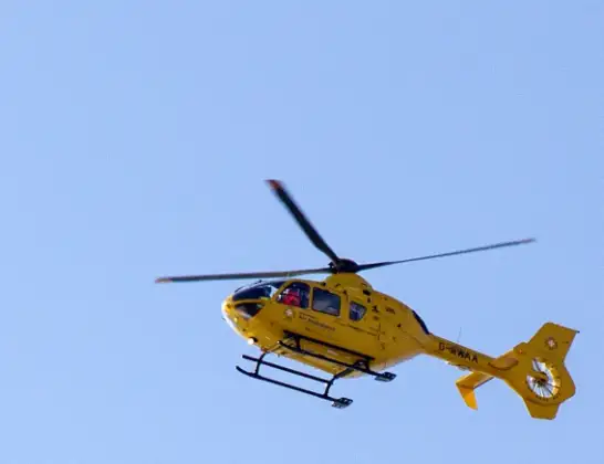
Helicopter: G-NWAA
The helicopter G-NWAA is used as a air ambulance helicopter. The main purpose of this aircraft is to transport a Mobile Medical Team to an incident as quickly as possible, enabling the trauma doctor to provide immediate first aid on site. The aircraft is flying this flight as Air Ambulance Helicopter.
Photo: David P Howard
43 miles
3175 feet
216 mph
12 minutes
16:25
16:37

Route
Cummersdale, Cumberland16:37
Dalston, Cumberland16:36
Gaitsgill, Cumberland16:35
Dalston, Cumberland16:35
Castle Sowerby, Westmorland and Furness16:33
Mungrisdale, Westmorland and Furness16:31
Scales, Westmorland and Furness16:30
Matterdale, Westmorland and Furness16:29
Patterdale, Westmorland and Furness16:28
Bampton, Westmorland and Furness16:28
St. John's Castlerigg and Wythburn, Cumberland16:27
Lakes, Westmorland and Furness16:27
A591, Westmorland and Furness16:25
Live flights
Today
Flights Cummersdale
Air Ambulance Helicopter to Cummersdale29 Apr 16:25
Flights Grasmere
Coastguard Helicopter to Grasmere, A59129 Jun 11:37
Air Ambulance Helicopter to Cummersdale29 Apr 16:25
Helicopter flights on your website?
You can easily display helicopter flights on your own website. Use the embed code.
