Air Ambulance Helicopter to Brockenhurst, Tall Trees Trail
Wednesday, 29 April 2026 | 14:54 | From St Marys Hospital Isle Of Wight
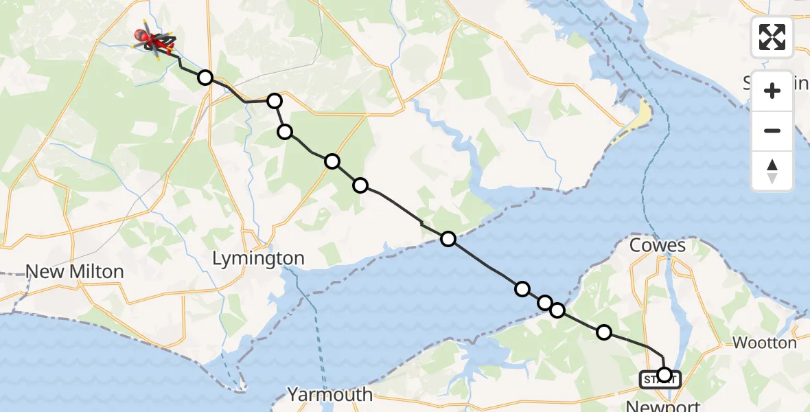
On Wednesday, 29 April 2026 at 14:54, a Air Ambulance Helicopter departed from St Marys Hospital Isle Of Wight to Brockenhurst. It was the Air Ambulance Helicopter with registration number G-HIOW. The flight lasted 11 minutes. During that period, the aircraft travelled 21 miles at an average speed of 111 miles per hour at a maximum altitude of 925 feet.
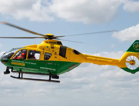
Helicopter: G-HIOW
The helicopter G-HIOW is used as a air ambulance helicopter. The main purpose of this aircraft is to transport a Mobile Medical Team to an incident as quickly as possible, enabling the trauma doctor to provide immediate first aid on site. The aircraft is flying this flight as Air Ambulance Helicopter.
Photo: JF2608
21 miles
925 feet
111 mph
12 minutes
14:54
15:05

Route
Brockenhurst, Hampshire15:05
Tall Trees Trail, Hampshire15:05
Tall Trees Trail, Hampshire15:05
Goldsmiths Hill, Hampshire15:04
Tall Trees Trail, Hampshire15:03
Brockenhurst, Hampshire15:01
New Forest, Hampshire15:00
Brockenhurst, Hampshire15:00
New Forest, Hampshire14:59
East Boldre, Hampshire14:59
Beaulieu, Hampshire14:57
English Channel14:56
Newport, Isle of Wight14:56
Porchfield, Isle of Wight14:56
Northwood, Isle of Wight14:55
Stag Lane Cycleway, Isle of Wight14:55
Newport, Isle of Wight14:54
St Marys Hospital Isle Of Wight, Newport14:54
Live flights
Today
Flights Brockenhurst
Air Ambulance Helicopter to Southampton Airport29 Apr 19:19
Air Ambulance Helicopter to Brockenhurst29 Apr 17:35
Air Ambulance Helicopter to Southampton Airport29 Apr 15:09
Air Ambulance Helicopter to Brockenhurst28 Apr 09:45
Helicopter flights on your website?
You can easily display helicopter flights on your own website. Use the embed code.
