Coastguard Helicopter to Capel Curig
Tuesday, 28 April 2026 | 21:29 | From Llanberis
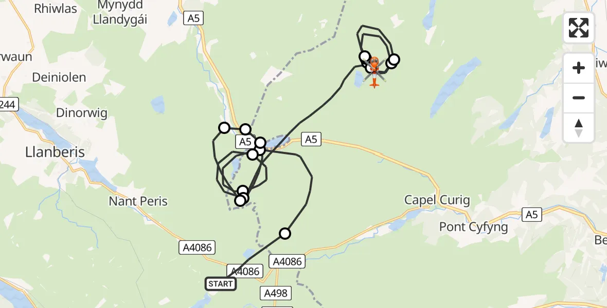
On Tuesday, 28 April 2026 at 21:29, a Coastguard Helicopter departed from Llanberis to Capel Curig. It was the Coastguard Helicopter with registration number G-RESI. The flight lasted 28 minutes. During that period, the aircraft travelled 26 miles at an average speed of 56 miles per hour at a maximum altitude of 2875 feet.

Helicopter: G-RESI
The helicopter G-RESI is used by the British Coastguard. The helicopter is deployed in search and rescue operations at sea, rescue operations involving ships or drilling platforms, patrols to prevent smuggling or piracy, environmental monitoring and disaster relief support.
Photo: Tony Melony
26 miles
2875 feet
56 mph
28 minutes
21:29
21:57

Route
Capel Curig, Conwy21:57
Capel Curig, Conwy21:56
Caerhun, Conwy21:56
Capel Curig, Conwy21:55
Caerhun, Conwy21:54
Capel Curig, Conwy21:53
Caerhun, Conwy21:51
Y Gribin, Conwy21:44
Y Gribin, Conwy21:43
Capel Curig, Conwy21:40
Llandygai, Gwynedd21:39
Llanllechid, Gwynedd21:38
Llandygai, Gwynedd21:38
Capel Curig, Conwy21:37
Llandygai, Gwynedd21:35
Capel Curig, Conwy21:34
Llandygai, Gwynedd21:33
Capel Curig, Conwy21:31
Pyg Track, Gwynedd21:29
Live flights
Today
Flights Llanberis
Coastguard Helicopter to Llanberis, A408626 May 19:16
Coastguard Helicopter to Caernarfon Airport9 May 16:44
Coastguard Helicopter to Caernarfon Airport9 May 15:34
Coastguard Helicopter to Capel Curig28 Apr 21:29
Helicopter flights on your website?
You can easily display helicopter flights on your own website. Use the embed code.
