Air Ambulance Helicopter to Glasgow Airport
Sunday, 26 April 2026 | 19:46 | From Invergroin
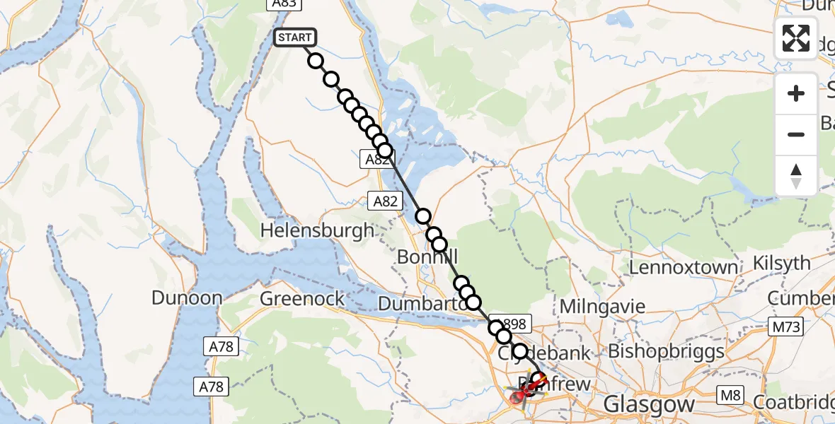
On Sunday, 26 April 2026 at 19:46, a Air Ambulance Helicopter departed from Invergroin to Glasgow Airport. It was the Air Ambulance Helicopter with registration number G-ISAS. The flight lasted 11 minutes. During that period, the aircraft travelled 25 miles at an average speed of 140 miles per hour at a maximum altitude of 2650 feet.
Helicopter: G-ISAS
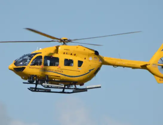
The helicopter G-ISAS is used as a air ambulance helicopter. The main purpose of this aircraft is to transport a Mobile Medical Team to an incident as quickly as possible, enabling the trauma doctor to provide immediate first aid on site. The aircraft is flying this flight as Air Ambulance Helicopter.
Photo: Jonathan Payne
25 miles
2650 feet
140 mph
11 minutes
19:46
19:57

Route
Glasgow Airport, Glasgow19:57
Glasgow Airport, Glasgow19:56
Renfrew, Renfrewshire19:56
Clydebank, West Dunbartonshire19:55
Erskine, Renfrewshire19:54
Old Kilpatrick, West Dunbartonshire19:54
Bowling, West Dunbartonshire19:53
Milton, West Dunbartonshire19:53
Dumbarton, West Dunbartonshire19:53
Bonhill, West Dunbartonshire19:52
Jamestown, West Dunbartonshire19:51
Balloch, West Dunbartonshire19:51
Loch Lomond19:49
Luss, Argyll and Bute19:49
Aldochlay, Argyll and Bute19:49
Luss, Argyll and Bute19:48
Tom Na Glas, Argyll and Bute19:48
Coille-eughain Hill, Argyll and Bute19:48
Argyll and Bute, Argyll and Bute19:48
Glen Mollochan, Argyll and Bute19:47
Stùc Bàn, Argyll and Bute19:47
Glen Douglas Road, Argyll and Bute19:46
Today
Flights Invergroin
Air Ambulance Helicopter to Glasgow Airport26 Apr 19:46
Helicopter flights on your website?
You can easily display helicopter flights on your own website. Use the embed code.
