Air Ambulance Helicopter to Maryport, Sycamore Road
Sunday, 26 April 2026 | 16:38 | From Penrith
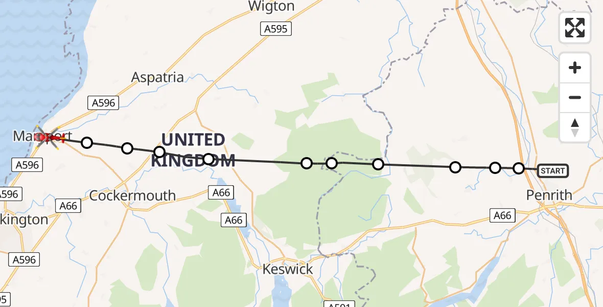
On Sunday, 26 April 2026 at 16:38, a Air Ambulance Helicopter departed from Penrith to Maryport. It was the Air Ambulance Helicopter with registration number G-NHAE. The flight lasted 11 minutes. During that period, the aircraft travelled 30 miles at an average speed of 157 miles per hour at a maximum altitude of 2325 feet.
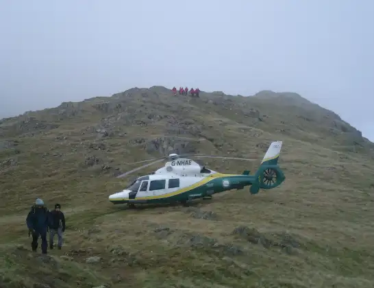
Helicopter: G-NHAE
The helicopter G-NHAE is used as a air ambulance helicopter. The main purpose of this aircraft is to transport a Mobile Medical Team to an incident as quickly as possible, enabling the trauma doctor to provide immediate first aid on site. The aircraft is flying this flight as Air Ambulance Helicopter.
Photo: Michael Earnshaw
30 miles
2325 feet
157 mph
12 minutes
16:38
16:49

Route
Sycamore Road, Cumberland16:49
Dearham, Cumberland16:48
Tallentire, Cumberland16:47
Blindcrake, Cumberland16:46
Sunderland, Cumberland16:45
Ireby and Uldale, Cumberland16:43
Caldbeck, Cumberland16:43
Mungrisdale, Westmorland and Furness16:42
Johnby, Westmorland and Furness16:40
Little Blencow, Westmorland and Furness16:39
Newton Reigny, Westmorland and Furness16:39
Greengill Lane, Westmorland and Furness16:38
Live flights
Today
Flights Maryport
Air Ambulance Helicopter to Maryport18 Apr 18:19
Air Ambulance Helicopter to Maryport18 Apr 18:07
Air Ambulance Helicopter to Dent6 Apr 13:25
Air Ambulance Helicopter to Maryport6 Apr 12:54
Flights Penrith
Air Ambulance Helicopter to Penrith, A6867 Jun 11:35
Air Ambulance Helicopter to Irish Sea5 Jun 15:10
Air Ambulance Helicopter to Penrith, B528823 May 17:04
Air Ambulance Helicopter to Penrith, Langwathby19 May 11:53
Helicopter flights on your website?
You can easily display helicopter flights on your own website. Use the embed code.
