Air Ambulance Helicopter to West Suffolk, Herringswell Road
Sunday, 26 April 2026 | 14:48 | From Hethersett
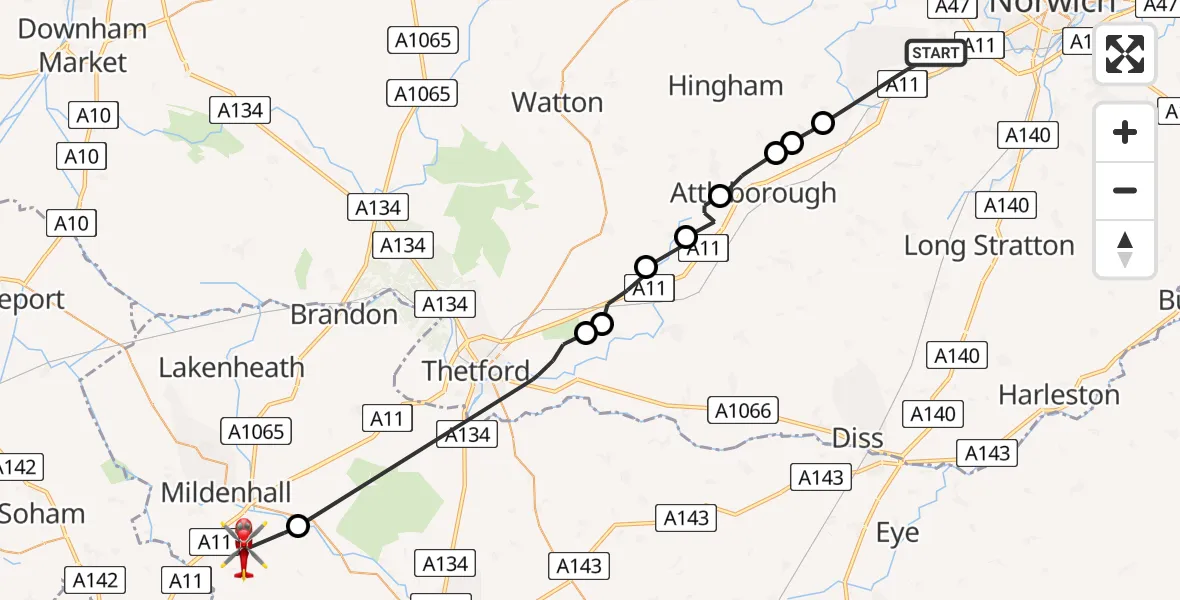
On Sunday, 26 April 2026 at 14:48, a Air Ambulance Helicopter departed from Hethersett to West Suffolk. It was the Air Ambulance Helicopter with registration number G-SCAA. The flight lasted 15 minutes. During that period, the aircraft travelled 35 miles at an average speed of 140 miles per hour at a maximum altitude of 700 feet.
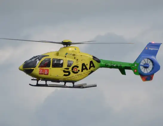
Helicopter: G-SCAA
The helicopter G-SCAA is used as a air ambulance helicopter. The main purpose of this aircraft is to transport a Mobile Medical Team to an incident as quickly as possible, enabling the trauma doctor to provide immediate first aid on site. The aircraft is flying this flight as Air Ambulance Helicopter.
Photo: Jonathan Payne
36 miles
700 feet
140 mph
16 minutes
14:48
15:03

Route
Herringswell Road, Suffolk15:03
Icklingham, Suffolk15:02
Breckland, Norfolk14:56
Bridgham, Norfolk14:56
Breckland, Norfolk14:54
Snetterton, Norfolk14:54
Breckland, Norfolk14:53
Attleborough, Norfolk14:51
Morley St Peter, Norfolk14:51
Morley St Botolph, Norfolk14:50
Queens Road, Norfolk14:48
Live flights
Today
Flights Hethersett
Air Ambulance Helicopter to Priory Farm Airstrip15 Jun 22:16
Air Ambulance Helicopter to Stow cum Quy7 Jun 19:41
Air Ambulance Helicopter to Stow cum Quy, A1412 Jan 17:52
Helicopter flights on your website?
You can easily display helicopter flights on your own website. Use the embed code.
