Police Helicopter to Porlock, A39
Sunday, 26 April 2026 | 1:06 | From MOD St Athan
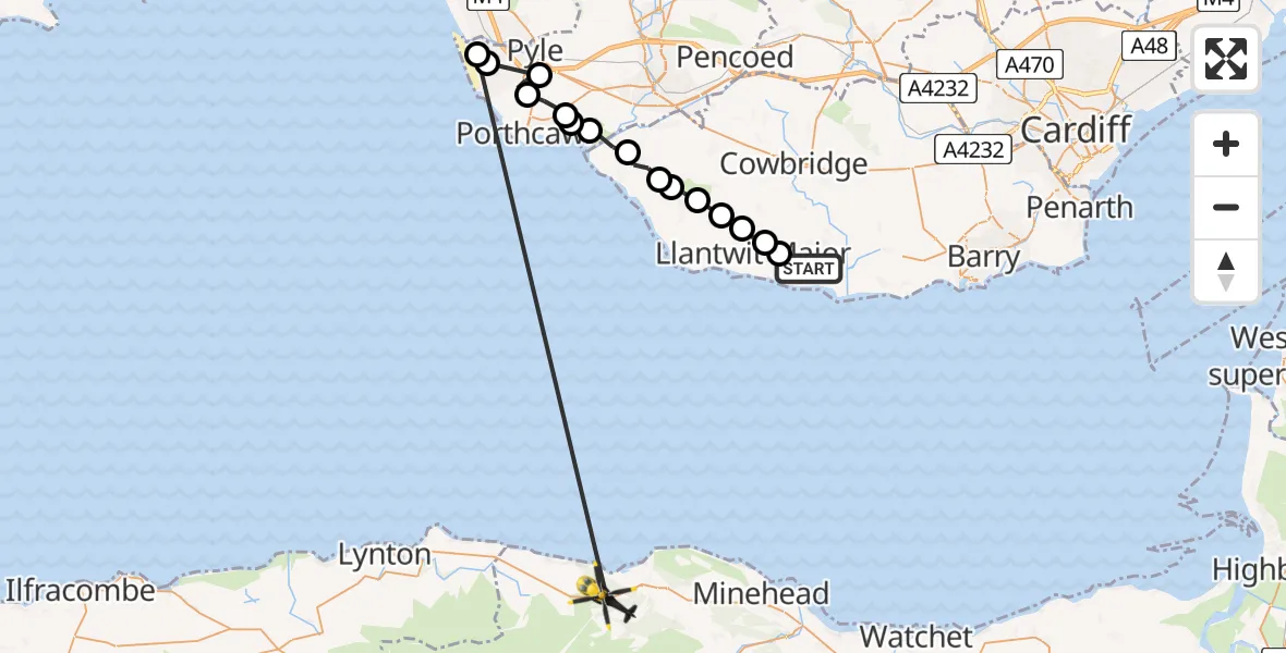
On Sunday, 26 April 2026 at 1:06, a Police Helicopter departed from MOD St Athan to Porlock. It was the Police Helicopter with registration number G-NWOI. The flight lasted 10 minutes. During that period, the aircraft travelled 41 miles at an average speed of 259 miles per hour at a maximum altitude of 1075 feet.
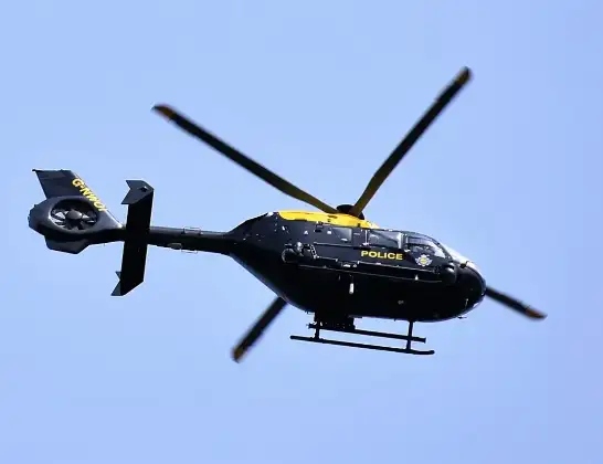
Helicopter: G-NWOI
The helicopter G-NWOI is used by the British police. The helicopter is deployed in pursuits, missing persons cases and other incidents where a helicopter provides added value.
Photo: Alec Wilson
42 miles
1075 feet
259 mph
10 minutes
01:06
01:15

Route
A39, Somerset01:15
Cornelly, Bridgend01:13
Kenfig, Bridgend01:13
Pyle, Bridgend01:12
South Cornelly, Bridgend01:12
Newton, Bridgend01:11
Tythegston, Bridgend01:11
Merthyr Mawr, Bridgend01:10
Ogmore, Vale of Glamorgan01:10
St Brides Major, Vale of Glamorgan01:09
St. Brides Major, Vale of Glamorgan01:09
Wick, Vale of Glamorgan01:08
Marcross, Vale of Glamorgan01:08
Llantwit Major, Vale of Glamorgan01:07
Llanmaes, Vale of Glamorgan01:07
Boverton, Vale of Glamorgan01:06
MOD St Athan, St Athan, Vale of Glamorgan01:06
Today
Flights Porlock
Police Helicopter to Porlock, A3926 Apr 01:06
Helicopter flights on your website?
You can easily display helicopter flights on your own website. Use the embed code.
