Police Helicopter to Oughtibridge, Brook Lane
Saturday, 25 April 2026 | 23:31 | From East Ardsley
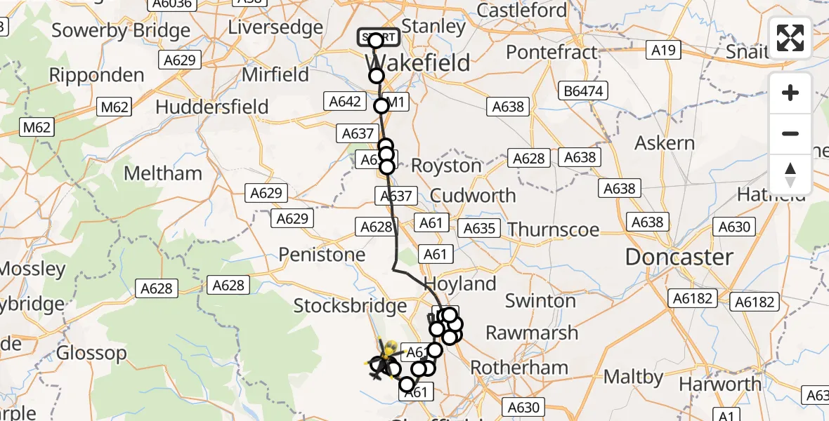
On Saturday, 25 April 2026 at 23:31, a Police Helicopter departed from East Ardsley to Oughtibridge. It was the Police Helicopter with registration number G-TVHB. The flight lasted 28 minutes. During that period, the aircraft travelled 38 miles at an average speed of 82 miles per hour at a maximum altitude of 1075 feet.
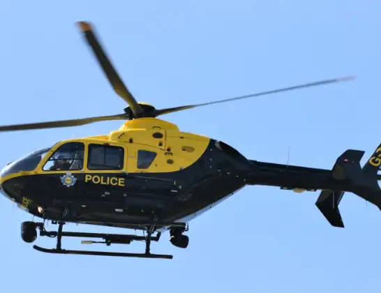
Helicopter: G-TVHB
The helicopter G-TVHB is used by the British police. The helicopter is deployed in pursuits, missing persons cases and other incidents where a helicopter provides added value.
Photo: Alec Wilson
38 miles
1075 feet
82 mph
28 minutes
23:31
23:59

Route
Brook Lane, South Yorkshire - Sheffield23:59
Oughtibridge, Sheffield23:59
Worrall, Sheffield23:51
Oughtibridge, Sheffield23:51
Worrall, Sheffield23:51
Oughtibridge, Sheffield23:51
Worrall, Sheffield23:49
Middlewood, Sheffield23:48
Grenoside, Sheffield23:45
Whitley, Sheffield23:44
Chapeltown, Sheffield23:41
Barnsley, Rotherham23:41
Rotherham, Rotherham23:41
Chapeltown, Sheffield23:40
Rotherham, Rotherham23:40
Chapeltown, Sheffield23:39
Barnsley, Sheffield23:39
Barnsley, Barnsley23:35
Barnsley, Wakefield23:34
Woolley, Wakefield23:34
Great Cliff, Wakefield23:33
Horbury, Wakefield23:32
Ossett, Wakefield23:31
M1, West Yorkshire - Leeds23:31
Live flights
Today
Flights Oughtibridge
Police Helicopter to East Ardsley, Stoney Lane26 Apr 00:01
Police Helicopter to Oughtibridge, Brook Lane25 Apr 23:31
Helicopter flights on your website?
You can easily display helicopter flights on your own website. Use the embed code.
