Air Ambulance Helicopter to Rochester Airport
Saturday, 25 April 2026 | 18:27 | From Teynham
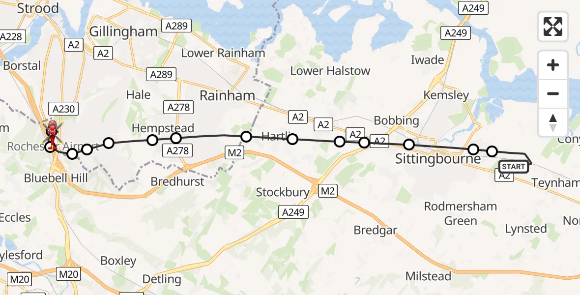
On Saturday, 25 April 2026 at 18:27, a Air Ambulance Helicopter departed from Teynham to Rochester Airport. It was the Air Ambulance Helicopter with registration number G-LAAA. The flight lasted 10 minutes. During that period, the aircraft travelled 14 miles at an average speed of 87 miles per hour at a maximum altitude of 1000 feet.
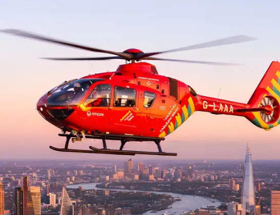
Helicopter: G-LAAA
The helicopter G-LAAA is used as a air ambulance helicopter. The main purpose of this aircraft is to transport a Mobile Medical Team to an incident as quickly as possible, enabling the trauma doctor to provide immediate first aid on site. The aircraft is flying this flight as Air Ambulance Helicopter.
Photo: Ton Snoei
14 miles
1000 feet
87 mph
10 minutes
18:27
18:37

Route
Rochester Airport, Rochester, Kent18:37
Rochester Airport, Rochester, Kent18:36
Rochester Airport, Rochester, Kent18:35
Rochester Airport, Rochester, Kent18:35
Rochester Airport, Rochester, Kent18:35
Chatham, Kent18:34
Bluebell Hill, Kent18:34
Chatham, Medway18:34
Chatham, Kent18:33
Chatham, Medway18:33
Gillingham, Medway18:32
Rainham, Medway18:32
Hartlip, Kent18:31
Newington, Kent18:31
Borden, Kent18:30
Bobbing, Kent18:30
Sittingbourne, Kent18:29
Bapchild, Kent18:29
Lower Road, Kent18:29
Teynham, Kent18:27
Live flights
Today
Flights Teynham
Helicopter flights on your website?
You can easily display helicopter flights on your own website. Use the embed code.
