Air Ambulance Helicopter to Almondsbury Helicopter Base
Saturday, 25 April 2026 | 13:22 | From Wickwar
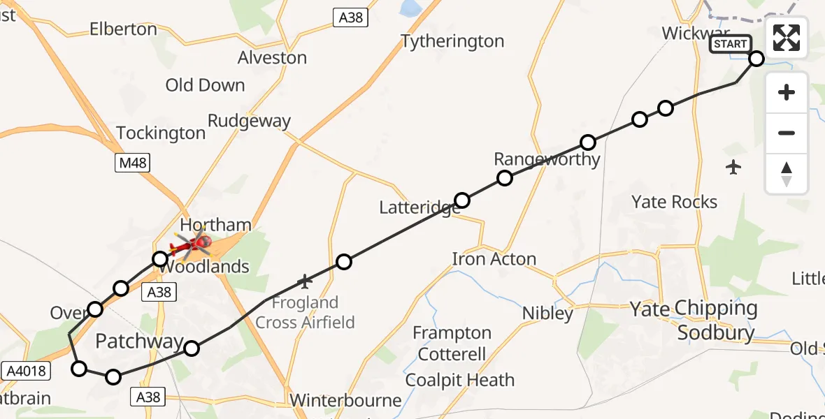
On Saturday, 25 April 2026 at 13:22, a Air Ambulance Helicopter departed from Wickwar to Almondsbury Helicopter Base. It was the Air Ambulance Helicopter with registration number G-GWAC. The flight lasted 7 minutes. During that period, the aircraft travelled 13 miles at an average speed of 117 miles per hour at a maximum altitude of 1000 feet.
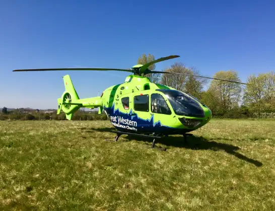
Helicopter: G-GWAC
The helicopter G-GWAC is used as a air ambulance helicopter. The main purpose of this aircraft is to transport a Mobile Medical Team to an incident as quickly as possible, enabling the trauma doctor to provide immediate first aid on site. The aircraft is flying this flight as Air Ambulance Helicopter.
Photo: Mojo0306
14 miles
1000 feet
117 mph
7 minutes
13:22
13:29

Route
Almondsbury Helicopter Base, Bristol, Somerset13:29
Almondsbury Helicopter Base, Bristol, Somerset13:29
Almondsbury Helicopter Base, Bristol, Somerset13:29
Almondsbury, South Gloucestershire13:28
Over, South Gloucestershire13:28
Easter Compton, South Gloucestershire13:27
Filton, South Gloucestershire13:27
Stoke Gifford, South Gloucestershire13:27
Bradley Stoke, South Gloucestershire13:26
Latteridge, South Gloucestershire13:25
Iron Acton, South Gloucestershire13:25
Rangeworthy, South Gloucestershire13:24
Yate Rocks, South Gloucestershire13:24
Wickwar, South Gloucestershire13:24
Horton, South Gloucestershire13:23
Roman Bridge, South Gloucestershire13:22
Live flights
Today
Flights Wickwar
Helicopter flights on your website?
You can easily display helicopter flights on your own website. Use the embed code.
