Air Ambulance Helicopter to Rushcliffe, A46
Saturday, 25 April 2026 | 11:55 | From Shepshed
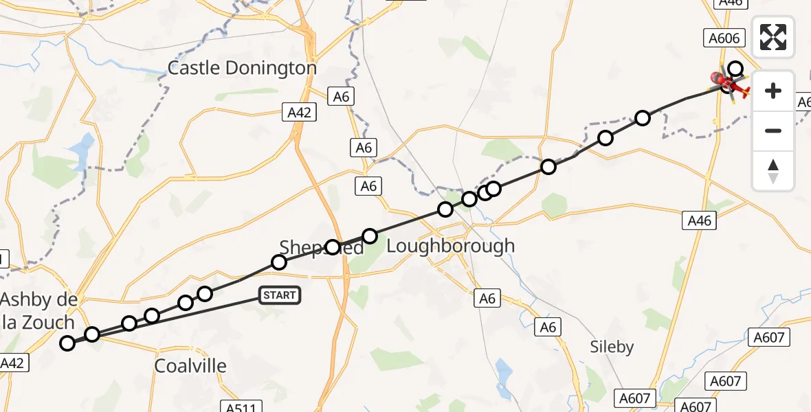
On Saturday, 25 April 2026 at 11:55, a Air Ambulance Helicopter departed from Shepshed to Rushcliffe. It was the Air Ambulance Helicopter with registration number G-DRLA. The flight lasted 8 minutes. During that period, the aircraft travelled 28 miles at an average speed of 221 miles per hour at a maximum altitude of 1075 feet.
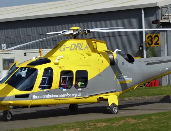
Helicopter: G-DRLA
The helicopter G-DRLA is used as an ambulance helicopter. The helicopter is equipped with a stretcher for transporting patients. The helicopter is often used to transport to hospitals.
Photo: Alec Wilson
29 miles
1075 feet
221 mph
8 minutes
11:55
12:03

Route
A46, Nottinghamshire12:03
Nottingham Heliport12:03
Rushcliffe, Nottinghamshire12:02
Willoughby on the Wolds, Nottinghamshire12:01
Wymeswold, Leicestershire12:01
Hoton, Leicestershire12:00
Charnwood, Leicestershire12:00
Cotes, Leicestershire12:00
Stanford on Soar, Nottinghamshire11:59
Loughborough, Leicestershire11:59
Shepshed, Leicestershire11:59
Garendon Park, Leicestershire11:58
Shepshed, Leicestershire11:58
Belton, Leicestershire11:57
Thringstone, Leicestershire11:57
Swannington, Leicestershire11:56
Coalville, Leicestershire11:56
Ravenstone, Leicestershire11:56
Ashby-de-la-Zouch, Leicestershire11:56
Charley Road, Leicestershire11:55
Live flights
Today
Flights Rushcliffe
Air Ambulance Helicopter to Rushcliffe, A4624 Apr 19:40
Air Ambulance Helicopter to Towngate, The Avenue24 Apr 18:24
Air Ambulance Helicopter to Rushcliffe, A4623 Apr 17:18
Air Ambulance Helicopter to Nottingham Heliport22 Apr 14:32
Air Ambulance Helicopter to Worksop, Kilton Road22 Apr 12:51
Air Ambulance Helicopter to Nottingham Heliport22 Apr 11:15
Air Ambulance Helicopter to Foxton, Foxton Road21 Apr 18:39
Flights Shepshed
Helicopter flights on your website?
You can easily display helicopter flights on your own website. Use the embed code.
