Police Helicopter to Cleghorn, Range View
Friday, 24 April 2026 | 17:21 | From Rutherglen
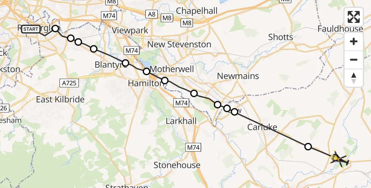
On Friday, 24 April 2026 at 17:21, a Police Helicopter departed from Rutherglen to Cleghorn. It was the Police Helicopter with registration number G-POLS. The flight lasted 10 minutes. During that period, the aircraft travelled 22 miles at an average speed of 137 miles per hour at a maximum altitude of 2450 feet.
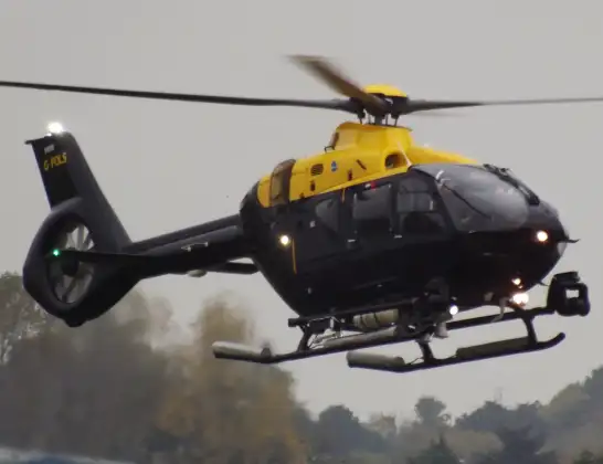
Helicopter: G-POLS
The helicopter G-POLS is used by the British police. The helicopter is deployed in pursuits, missing persons cases and other incidents where a helicopter provides added value.
Photo: James from Cheltenham, Gloucestershire
23 miles
2450 feet
137 mph
10 minutes
17:21
17:31

Route
Range View, South Lanarkshire17:31
Carstairs, South Lanarkshire17:31
Kilncadzow, South Lanarkshire17:30
Law, South Lanarkshire17:27
Wishaw, North Lanarkshire17:27
Overtown, North Lanarkshire17:27
Wishaw, North Lanarkshire17:26
Motherwell, North Lanarkshire17:25
Hamilton, South Lanarkshire17:25
Bothwell, South Lanarkshire17:24
Blantyre, South Lanarkshire17:23
Cambuslang, South Lanarkshire17:22
Glasgow, South Lanarkshire17:22
Cambuslang, South Lanarkshire17:22
Westmuir Place, South Lanarkshire17:21
Live flights
Today
Flights Cleghorn
Police Helicopter to Cleghorn, Range View24 Apr 17:21
Flights Rutherglen
Police Helicopter to Cambuslang, Hamilton Road30 May 01:58
Police Helicopter to Glasgow, Buchanan Street16 May 20:13
Police Helicopter to Glasgow, Fastlink Busway10 May 15:08
Police Helicopter to Rutherglen10 May 15:04
Police Helicopter to Cleghorn, Range View24 Apr 17:21
Police Helicopter to Glasgow, Keith Street2 Apr 10:16
Police Helicopter to Rutherglen, Cambuslang Road13 Mar 12:39
Police Helicopter to Motherwell, Kirkhill Road16 Feb 06:01
Helicopter flights on your website?
You can easily display helicopter flights on your own website. Use the embed code.
