Air Ambulance Helicopter to Pant, Broad Street
Friday, 24 April 2026 | 10:31 | From Tredegar
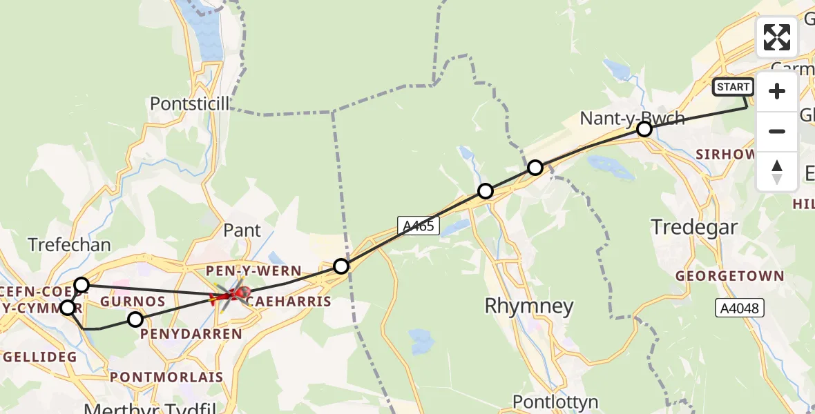
On Friday, 24 April 2026 at 10:31, a Air Ambulance Helicopter departed from Tredegar to Pant. It was the Air Ambulance Helicopter with registration number G-WROL. The flight lasted 5 minutes. During that period, the aircraft travelled 10 miles at an average speed of 110 miles per hour at a maximum altitude of 1650 feet.
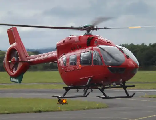
Helicopter: G-WROL
The helicopter G-WROL is used as a air ambulance helicopter. The main purpose of this aircraft is to transport a Mobile Medical Team to an incident as quickly as possible, enabling the trauma doctor to provide immediate first aid on site. The aircraft is flying this flight as Air Ambulance Helicopter.
Photo: James from Cheltenham, Gloucestershire
10 miles
1650 feet
110 mph
6 minutes
10:31
10:36

Route
Broad Street, Merthyr Tydfil10:36
Pant, Merthyr Tydfil10:36
Trefechan, Merthyr Tydfil10:36
Merthyr Tydfil, Merthyr Tydfil10:35
Pant, Merthyr Tydfil10:34
Rhymney, Caerphilly10:34
Tredegar, Caerphilly10:33
Nant-y-Bwch, Blaenau Gwent10:33
Crown Avenue, Blaenau Gwent10:33
Tredegar, Blaenau Gwent10:31
Live flights
Today
Flights Pant
Air Ambulance Helicopter to Cardiff Heliport22 May 21:01
Air Ambulance Helicopter to Pant, The Hafod22 May 19:39
Air Ambulance Helicopter to Pant, Broad Street24 Apr 10:31
Flights Tredegar
Air Ambulance Helicopter to Cardiff Heliport22 May 23:20
Air Ambulance Helicopter to Cardiff Heliport17 May 11:52
Air Ambulance Helicopter to Cardiff Heliport6 May 07:04
Air Ambulance Helicopter to Tredegar6 May 06:09
Police Helicopter to Tredegar, Field Street2 May 10:59
Air Ambulance Helicopter to Pant, Broad Street24 Apr 10:31
Helicopter flights on your website?
You can easily display helicopter flights on your own website. Use the embed code.
