Air Ambulance Helicopter to Moredun, Little France Crescent
Wednesday, 22 April 2026 | 20:07 | From Scottish Borders
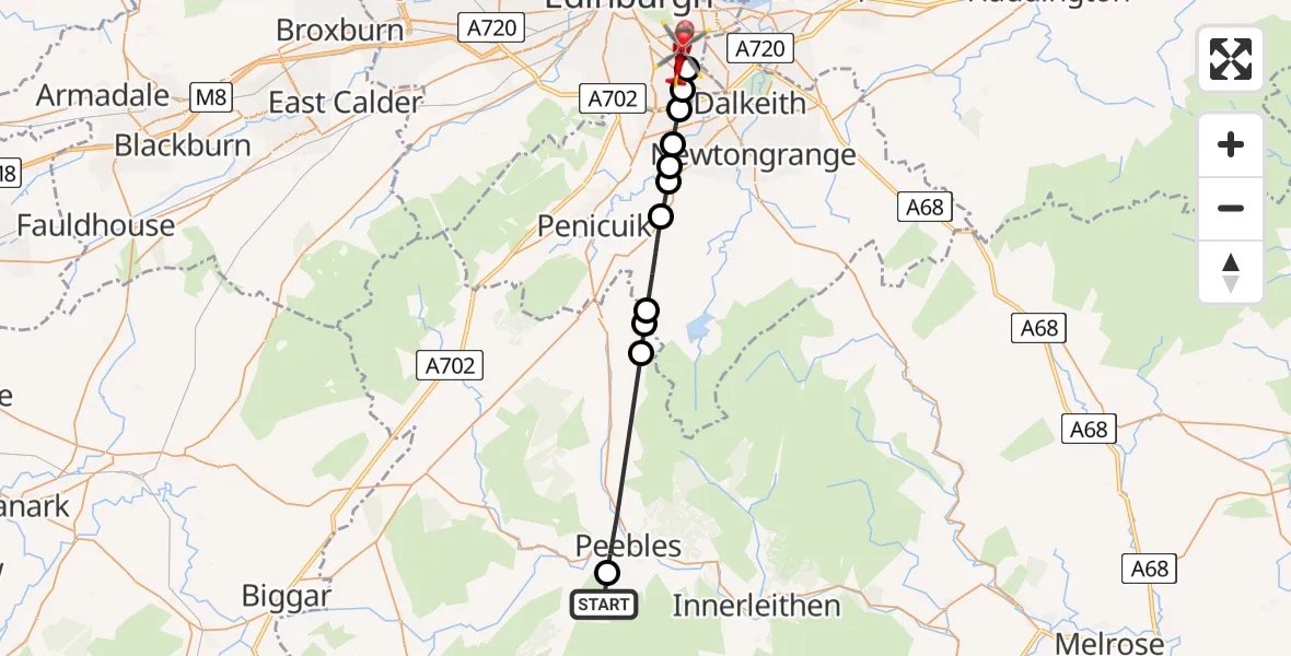
On Wednesday, 22 April 2026 at 20:07, a Air Ambulance Helicopter departed from Scottish Borders to Moredun. It was the Air Ambulance Helicopter with registration number G-NHAE. The flight lasted 8 minutes. During that period, the aircraft travelled 21 miles at an average speed of 159 miles per hour at a maximum altitude of 1975 feet.
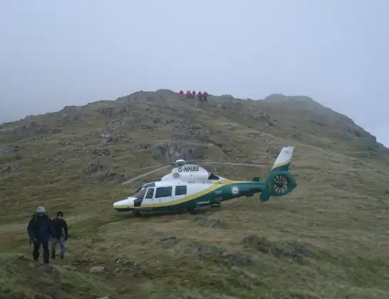
Helicopter: G-NHAE
The helicopter G-NHAE is used as a air ambulance helicopter. The main purpose of this aircraft is to transport a Mobile Medical Team to an incident as quickly as possible, enabling the trauma doctor to provide immediate first aid on site. The aircraft is flying this flight as Air Ambulance Helicopter.
Photo: Michael Earnshaw
22 miles
1975 feet
159 mph
8 minutes
20:07
20:15

Route
Little France Crescent, City of Edinburgh20:15
Moredun, City of Edinburgh20:14
Gilmerton, City of Edinburgh20:14
Southhouse, Midlothian20:13
Loanhead, Midlothian20:13
Rosewell, Midlothian20:12
Roslin, Midlothian20:12
Rosewell, Midlothian20:12
Mount Lothian, Midlothian20:10
Penicuik, Midlothian20:10
Waterheads, Scottish Borders20:10
Peebles, Scottish Borders20:07
Scottish Borders, Scottish Borders20:07
Live flights
Today
Flights Moredun
Air Ambulance Helicopter to Moredun30 Apr 15:02
Helicopter flights on your website?
You can easily display helicopter flights on your own website. Use the embed code.
