Air Ambulance Helicopter to Sandhurst, Crowthorne Road
Wednesday, 22 April 2026 | 17:57 | From RAF Benson
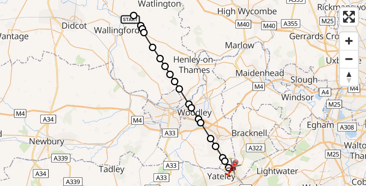
On Wednesday, 22 April 2026 at 17:57, a Air Ambulance Helicopter departed from RAF Benson to Sandhurst. It was the Air Ambulance Helicopter with registration number G-TVLY. The flight lasted 13 minutes. During that period, the aircraft travelled 25 miles at an average speed of 112 miles per hour at a maximum altitude of 1100 feet.
Helicopter: G-TVLY
The helicopter G-TVLY is used as a air ambulance helicopter. The main purpose of this aircraft is to transport a Mobile Medical Team to an incident as quickly as possible, enabling the trauma doctor to provide immediate first aid on site. The aircraft is flying this flight as Air Ambulance Helicopter.
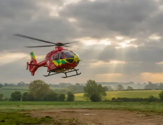
Photo: Tony Melony
25 miles
1100 feet
112 mph
14 minutes
17:57
18:10

Route
Crowthorne Road, Bracknell Forest18:10
Sandhurst, Bracknell Forest18:08
Crowthorne, Bracknell Forest18:08
Crowthorne, Wokingham18:07
Finchampstead, Wokingham18:07
Wokingham, Wokingham18:06
Sindlesham, Wokingham18:05
Woodley, Wokingham18:05
Reading, Wokingham18:04
Sonning, Wokingham18:04
Dunsden Green, Oxfordshire18:03
Binfield Heath, Oxfordshire18:02
Sonning Common, Oxfordshire18:02
Rotherfield Peppard, Oxfordshire18:01
Highmoor, Oxfordshire18:01
Stoke Row, Oxfordshire18:00
Nuffield, Oxfordshire17:59
Ewelme, Oxfordshire17:59
Benson, Oxfordshire17:59
The Street, Oxfordshire17:58
Ewelme, Oxfordshire17:58
RAF Benson, Wallingford, Oxfordshire17:57
Live flights
Today
Flights Sandhurst
Helicopter flights on your website?
You can easily display helicopter flights on your own website. Use the embed code.
