Police Helicopter to Bryntirion, Willesden Road
Wednesday, 22 April 2026 | 14:30 | From MOD St Athan
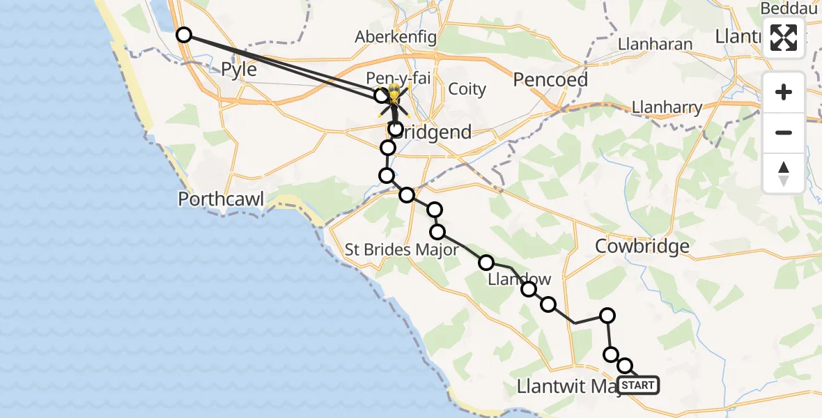
On Wednesday, 22 April 2026 at 14:30, a Police Helicopter departed from MOD St Athan to Bryntirion. It was the Police Helicopter with registration number G-NWOI. The flight lasted 6 minutes. During that period, the aircraft travelled 23 miles at an average speed of 216 miles per hour at a maximum altitude of 1150 feet.
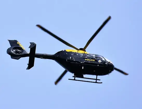
Helicopter: G-NWOI
The helicopter G-NWOI is used by the British police. The helicopter is deployed in pursuits, missing persons cases and other incidents where a helicopter provides added value.
Photo: Alec Wilson
24 miles
1150 feet
216 mph
7 minutes
14:30
14:36

Route
Willesden Road, Bridgend14:36
Margam, Neath Port Talbot14:35
Pen-y-fai, Bridgend14:35
Bryntirion, Bridgend14:34
Broadlands, Bridgend14:33
Merthyr Mawr, Bridgend14:33
Ewenny, Vale of Glamorgan14:33
Corntown, Vale of Glamorgan14:33
St Brides Major, Vale of Glamorgan14:32
St. Brides Major, Vale of Glamorgan14:32
Llandow, Vale of Glamorgan14:31
Llantwit Major, Vale of Glamorgan14:31
Sigingstone, Vale of Glamorgan14:31
Llanmaes, Vale of Glamorgan14:30
Boverton, Vale of Glamorgan14:30
MOD St Athan, St Athan, Vale of Glamorgan14:30
Live flights
Today
Flights Bryntirion
Police Helicopter to Bryntirion, Nant-yr-adar12 Jun 20:29
Police Helicopter to Cefn Cribwr, Farm Road12 Jun 20:21
Air Ambulance Helicopter to Dafen, Heol Aur30 Apr 13:10
Air Ambulance Helicopter to Bryntirion, Ton Glas30 Apr 11:10
Police Helicopter to Bryntirion, Willesden Road22 Apr 14:30
Police Helicopter to MOD St Athan12 Apr 15:13
Police Helicopter to Bryntirion, Wood Green4 Mar 02:10
Police Helicopter to Bryntirion, Heol yr Enfys15 Feb 15:51
Helicopter flights on your website?
You can easily display helicopter flights on your own website. Use the embed code.
