Air Ambulance Helicopter to Alva, Grodwell Drive
Tuesday, 21 April 2026 | 18:08 | From Glasgow Airport
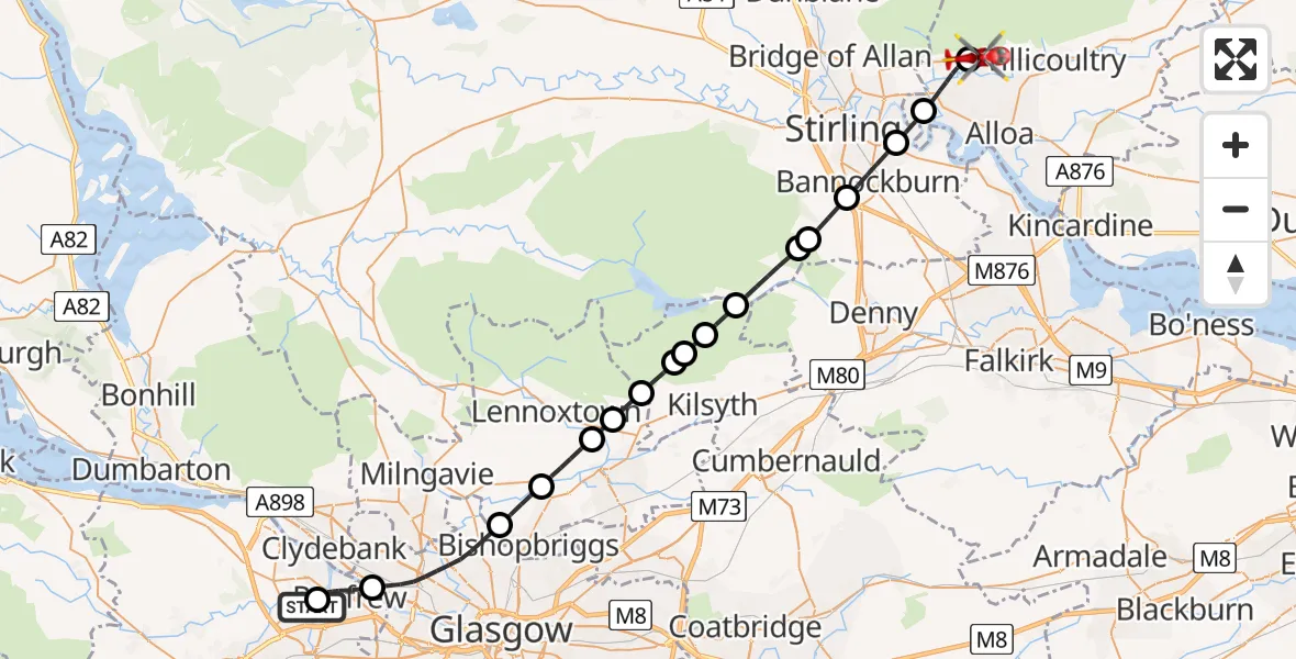
On Tuesday, 21 April 2026 at 18:08, a Air Ambulance Helicopter departed from Glasgow Airport to Alva. It was the Air Ambulance Helicopter with registration number G-ISAS. The flight lasted 20 minutes. During that period, the aircraft travelled 33 miles at an average speed of 99 miles per hour at a maximum altitude of 1500 feet.
Helicopter: G-ISAS
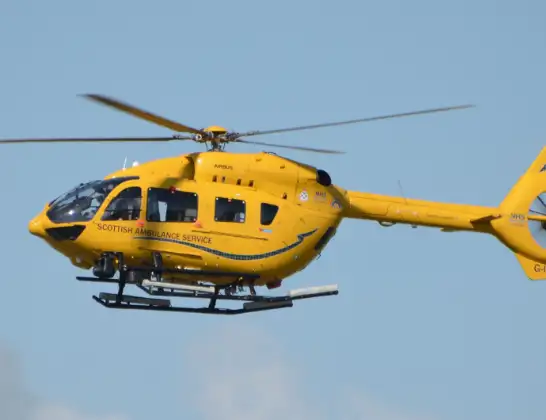
The helicopter G-ISAS is used as a air ambulance helicopter. The main purpose of this aircraft is to transport a Mobile Medical Team to an incident as quickly as possible, enabling the trauma doctor to provide immediate first aid on site. The aircraft is flying this flight as Air Ambulance Helicopter.
Photo: Jonathan Payne
34 miles
1500 feet
99 mph
21 minutes
18:08
18:28

Route
Grodwell Drive, Clackmannanshire18:28
Alva, Clackmannanshire18:25
Tullibody, Clackmannanshire18:24
Fallin, Stirling18:23
Bannockburn, Stirling18:22
Whins of Milton, Stirling18:21
Bannockburn, Stirling18:20
Stirling, Stirling18:19
North Lanarkshire, North Lanarkshire18:18
Kilsyth, North Lanarkshire18:18
Queenzieburn, North Lanarkshire18:17
The Kilsyth Hills, North Lanarkshire18:16
Kirkintilloch, East Dunbartonshire18:16
Milton of Campsie, East Dunbartonshire18:15
Torrance, East Dunbartonshire18:14
Bishopbriggs, East Dunbartonshire18:13
Glasgow, Glasgow City18:10
Inchinnan Road, Renfrewshire18:09
Renfrew, Renfrewshire18:08
Glasgow Airport, Glasgow18:08
Live flights
Today
Flights Alva
Police Helicopter to Auchentiber, B70725 Jun 11:39
Coastguard Helicopter to Alva, Strude Street29 May 16:11
Police Helicopter to Alva, Brook Street25 May 19:37
Air Ambulance Helicopter to Alva, Grodwell Drive21 Apr 18:08
Police Helicopter to Alva, Brook Street25 Mar 13:49
Helicopter flights on your website?
You can easily display helicopter flights on your own website. Use the embed code.
